Enable Location

We need your location to show you interesting places around you

Discover nearby places

Find interesting locations and hidden gems around you

Precise directions

Get accurate directions and distances to places

Your location is never shared with other users. It's only used when you tap the location button.

Downpatrick

Log in to your account

Start exploring — it's free

Trusted by 62,471 travelers worldwide

Continue with Google
Continue with Apple
or

We will send you a code to connect

By continuing, you accept our Terms and Conditions and our Privacy Policy

Check your inbox

We've sent a pincode in your inbox. Please enter the code below.

Downpatrick

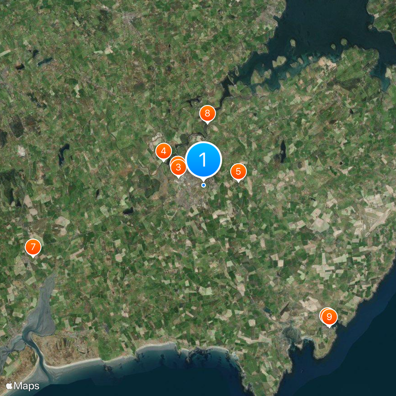
Downpatrick, Administrative center in County Down, Northern Ireland

Downpatrick is an administrative center in County Down, Northern Ireland, that spreads over gentle hills where the River Quoilé winds toward Strangford Lough. Streets run uphill and downhill from the central square, linking residential areas with shops and public buildings from different centuries.

The settlement began on the site of a Celtic fort called Rath Celtair and was taken over in 1177 by Norman warriors under John de Courcy. Over the following centuries it grew into a religious and administrative focus for the region.

The town name comes from the Irish "Dún Pádraig", meaning Patrick's fort, and points to the early Christian presence here. Today, pilgrims from many countries visit the saint's grave on the hill above the town.

The Down Arts Centre in the former town hall offers changing exhibitions, performances, and workshops throughout the year. Most places in the center are within walking distance, and parking areas are near the main streets.

The ruins of the Cistercian Inch Abbey stand about 3 km (nearly 2 mi) north along the Quoilé riverbank and date from 1180. On summer days you often see cows grazing in the nearby fields while the river flows quietly past.

The community of curious travelers

AroundUs brings together thousands of curated places, local tips, and hidden gems, enriched daily by 60,000 contributors worldwide.

Start exploring
GPS coordinates
54.32200,-5.70300
Latest update
December 14, 2025 17:12
Around this place
Down Cathedral
United Kingdom

Down Cathedral

1.4 km
Downpatrick and County Down Railway
United Kingdom

Downpatrick and County Down Railway

1.3 km
Inch Abbey
United Kingdom

Inch Abbey

2.3 km
Struell Wells
United Kingdom

Struell Wells

1.7 km
Jordan's Castle
United Kingdom

Jordan's Castle

9.2 km
Clough Castle
United Kingdom

Clough Castle

9.1 km
Quoile Castle
United Kingdom

Quoile Castle

3.1 km
King's Castle
United Kingdom

King's Castle

9.3 km
Annadorn Dolmen
United Kingdom

Annadorn Dolmen

6.9 km
Downpatrick Courthouse
United Kingdom

Downpatrick Courthouse

1.3 km
Audleystown Court Cairn
United Kingdom

Audleystown Court Cairn

8.9 km
Bright Castle
United Kingdom

Bright Castle

5.3 km
Quoile Bridge
United Kingdom

Quoile Bridge

2.4 km
Down Arts Centre
United Kingdom

Down Arts Centre

1.1 km
The Meadow, Downpatrick
United Kingdom

The Meadow, Downpatrick

1.8 km
Ballynoe Stone Circle
United Kingdom

Ballynoe Stone Circle

3.8 km
Down County Museum
United Kingdom

Down County Museum

1.3 km
St. Patrick's Memorial C Of I Church, Saul Strangford Downpatrick Co.down
United Kingdom

St. Patrick's Memorial C Of I Church, Saul Strangford Downpatrick Co.down

2.8 km
Christ Church Drumroe Road Ballyculter Upper Strangford Downpatrick Co.down
United Kingdom

Christ Church Drumroe Road Ballyculter Upper Strangford Downpatrick Co.down

8.4 km
Southwell Charity School And Almshouses English St. Downpatrick Co.down
United Kingdom

Southwell Charity School And Almshouses English St. Downpatrick Co.down

1.3 km
Eclipse Cinema
United Kingdom

Eclipse Cinema

1.9 km
Marlborough House 64 Killough Road Ballymote Middle Downpatrick Co Down Bt30 8bl
United Kingdom

Marlborough House 64 Killough Road Ballymote Middle Downpatrick Co Down Bt30 8bl

1.6 km
Gatehouse New County Gaol Downpatrick Co.down
United Kingdom

Gatehouse New County Gaol Downpatrick Co.down

1.3 km
27 English St. Downpatrick Co.down
United Kingdom

27 English St. Downpatrick Co.down

1.3 km
25 English St. Downpatrick Co.down
United Kingdom

25 English St. Downpatrick Co.down

1.3 km
Downpatrick First (non-subscribing) Presbyterian Church Stream Street Downpatrick Co Down Bt30 6dd
United Kingdom

Downpatrick First (non-subscribing) Presbyterian Church Stream Street Downpatrick Co Down Bt30 6dd

684 m
Percival-maxwell Tomb Inch Parish Churchyard Inch Downpatrick Co.down
United Kingdom

Percival-maxwell Tomb Inch Parish Churchyard Inch Downpatrick Co.down

2.5 km
Court House, English St. Downpatrick Co.down
United Kingdom

Court House, English St. Downpatrick Co.down

1.3 km
Show the full map
« Downpatrick - Administrative center in County Down, Northern Ireland » is provided by Around Us (aroundus.com). Images and texts are derived from Wikimedia project under a Creative Commons license. You are allowed to copy, distribute, and modify copies of this page, under the conditions set by the license, as long as this note is clearly visible.

Discover hidden gems everywhere you go!

From secret cafés to breathtaking viewpoints, skip the crowded tourist spots and find places that match your style. Our app makes it easy with voice search, smart filtering, route optimization, and insider tips from travelers worldwide. Download now for the complete mobile experience.

Around Us App Screenshot

A unique approach to discovering new places

Le Figaro

All the places worth exploring

France Info

A tailor-made excursion in just a few clicks

20 Minutes

Around Us
Travel Guide & Maps
Download

Send to your phone

QR Code
1

Open the camera app on your mobile.

2

Point at the QR code with your camera. A notification will appear.

3

Tap the notification to open the link.