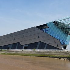
River Hull, Tidal river in East Riding of Yorkshire, England
The River Hull is a tidal waterway that flows approximately 16 miles from the Driffield Navigation at Aike to the Humber Estuary, passing through flat farmland. The water rises and falls with the tide, moving in both directions through the landscape.
Medieval archbishops of York controlled shipping rights on the waterway and built a trading dock at Grovehill to collect tolls from passing boats. This early commercial use shaped the river's importance to the region.
The name comes from ancient language elements describing water movement, showing that early British peoples lived in this region for a long time. Today, people use the banks and bridges as places to walk and reflect on the river's role in local life.
A tidal barrier at the river mouth automatically closes to protect the surrounding area from storm surge and flooding. Visitors should pay attention to tidal conditions and plan any waterside activities accordingly.
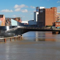
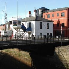
Multiple movable bridges span the river, allowing larger vessels to pass underneath while maintaining road connections across the water. This engineering solution shows how water and land traffic can share the same space.
The community of curious travelers
AroundUs brings together thousands of curated places, local tips, and hidden gems, enriched daily by 60,000 contributors worldwide.