Enable Location

We need your location to show you interesting places around you

Discover nearby places

Find interesting locations and hidden gems around you

Precise directions

Get accurate directions and distances to places

Your location is never shared with other users. It's only used when you tap the location button.

East Riding of Yorkshire

Log in to your account

Start exploring — it's free

Trusted by 62,852 travelers worldwide

Continue with Google
Continue with Apple
or

We will send you a code to connect

By continuing, you accept our Terms and Conditions and our Privacy Policy

Check your inbox

We've sent a pincode in your inbox. Please enter the code below.

East Riding of Yorkshire

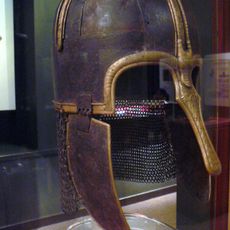
East Riding of Yorkshire, Ceremonial county in Yorkshire and the Humber, England.

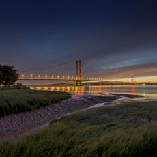
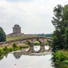
East Riding of Yorkshire is a ceremonial county in the Yorkshire and the Humber region of northeast England. The area stretches from the flat Holderness plain to the rolling Yorkshire Wolds, with coastline along the North Sea and the Humber estuary.

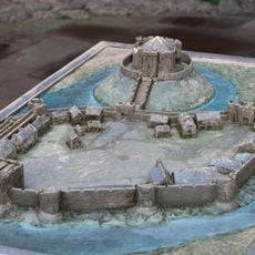
The county came into being in 1996 as a ceremonial unit after Humberside was dissolved and historic boundaries were restored. Before that, the area formed the eastern part of the old Yorkshire county for centuries.

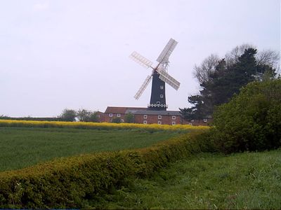
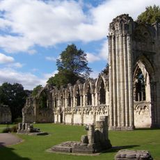
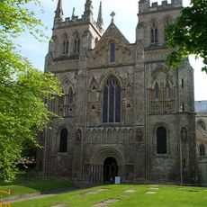
The Wolds show rolling hills with chalk soil, where footpaths lead through farmland and small villages. Church spires in pale stone often mark the center of settlements, while farmsteads and barns preserve the rural character.

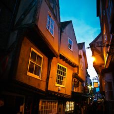
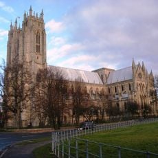
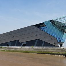
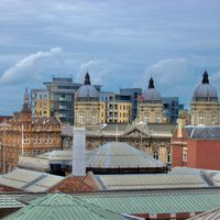
The town of Beverley provides orientation as the main settlement, while Hull to the south serves as the larger urban center. Roads and bus routes connect the towns, though rural areas often have less frequent services than coastal locations.

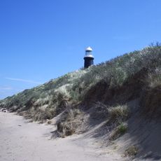
Spurn Point juts out as a narrow strip of land more than 4.8 km (3 miles) into the sea, forming a curved peninsula. The shape changes with storms and tides, so sand beaches and dunes shift over the years.

The community of curious travelers

AroundUs brings together thousands of curated places, local tips, and hidden gems, enriched daily by 60,000 contributors worldwide.

Start exploring
Inception
April 1, 1996
Capital city
Beverley
Shares border with
Lincolnshire, North Yorkshire, South Yorkshire
GPS coordinates
53.91667,-0.50000
Latest update
December 14, 2025 22:33
« East Riding of Yorkshire - Ceremonial county in Yorkshire and the Humber, England » is provided by Around Us (aroundus.com). Images and texts are derived from Wikimedia project under a Creative Commons license. You are allowed to copy, distribute, and modify copies of this page, under the conditions set by the license, as long as this note is clearly visible.

Discover hidden gems everywhere you go!

From secret cafés to breathtaking viewpoints, skip the crowded tourist spots and find places that match your style. Our app makes it easy with voice search, smart filtering, route optimization, and insider tips from travelers worldwide. Download now for the complete mobile experience.

Around Us App Screenshot

A unique approach to discovering new places

Le Figaro

All the places worth exploring

France Info

A tailor-made excursion in just a few clicks

20 Minutes

Around Us
Travel Guide & Maps
Download

Send to your phone

QR Code
1

Open the camera app on your mobile.

2

Point at the QR code with your camera. A notification will appear.

3

Tap the notification to open the link.