Humber, Tidal estuary in Northern England.
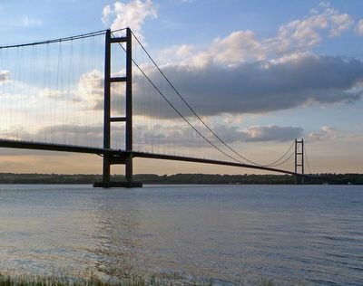
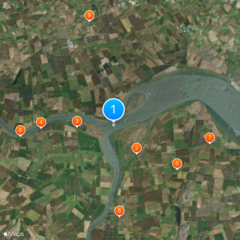
The Humber is a tidal estuary in Northern England that runs more than 60 kilometers from where the Ouse and Trent meet to the North Sea. At its widest point, the mouth of the estuary measures more than eleven kilometers across.
The mouth formed the boundary between Northumbria and the southern kingdoms during the Anglo-Saxon period. Ptolemy already mentioned the waterway in his ancient geographical records.
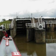
The name comes from the Roman Abus and points to centuries as a trade route. Fishing boats and cargo ships shape the waterway today, while coastal communities still depend on the sea for their living.
The bridge across the mouth connects the East Riding of Yorkshire to North Lincolnshire and can be crossed by car or on foot. During strong winds or high tides, access may be temporarily restricted.
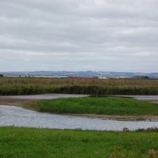
The tides move more than a thousand tonnes of sediment with each flow and create important habitats for many species. The area ranks among the most important European wintering grounds for migrating birds.
The community of curious travelers
AroundUs brings together thousands of curated places, local tips, and hidden gems, enriched daily by 60,000 contributors worldwide.