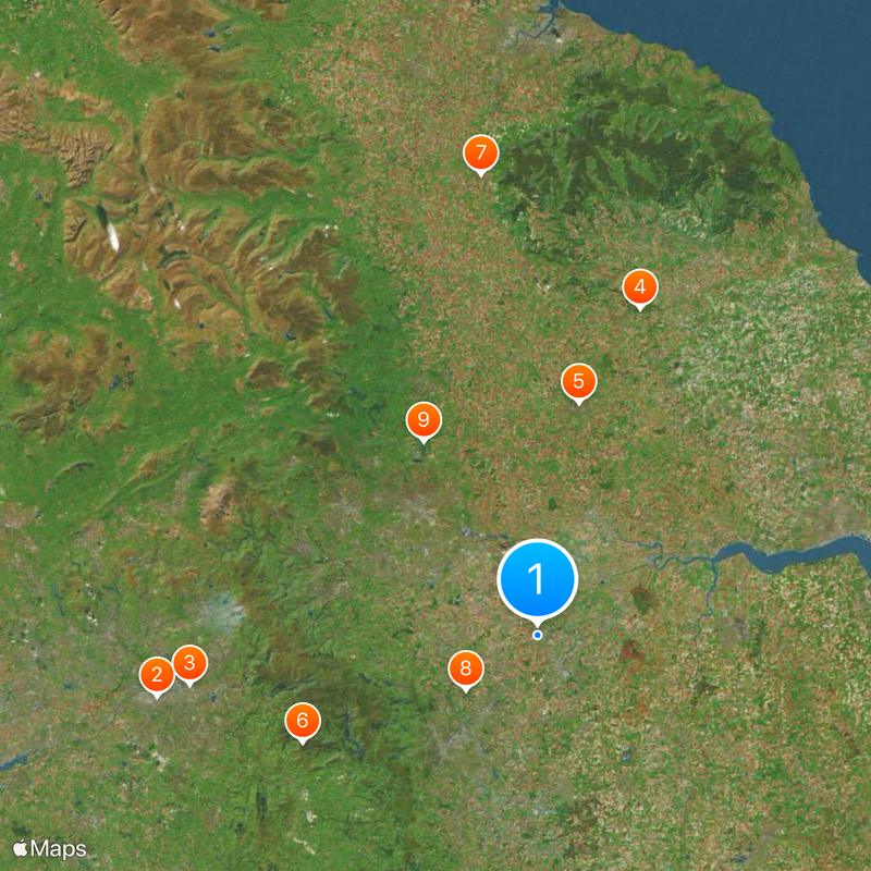
Yorkshire and the Humber, Administrative region in northern England
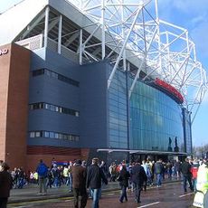
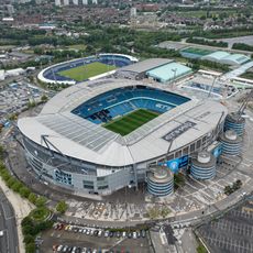
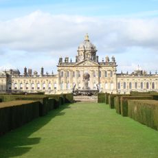
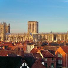
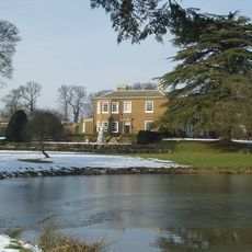
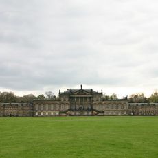
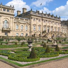
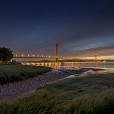
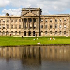
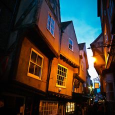
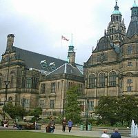
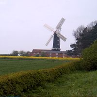
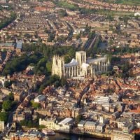
This territory in the northern part of England includes Leeds, Sheffield, York, Hull and Bradford, while large parts of the surrounding countryside remain rural in character. The landscape covers roughly 15,400 square kilometers (about 5,900 square miles), with green hills, wide moors and valleys stretching between the towns.
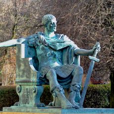
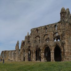
The administrative region formed in 1994 when several counties and urban areas were combined into a single structure. Before that moment, these different areas belonged to the Anglo-Saxon kingdoms of Deira and Northumbria, which emerged during the 7th century.
In cities like Sheffield and Hull you often hear dialects with a particular rhythm that becomes noticeable after a few days. The rougher sound does not mean hostility, it simply belongs to the speech pattern that has been maintained here for generations.
A car makes exploring rural areas easier, while the cities of Leeds, Sheffield and York are well connected by train. Weather conditions vary greatly from the lowlands to the hills, so waterproof clothing is advisable.
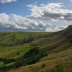
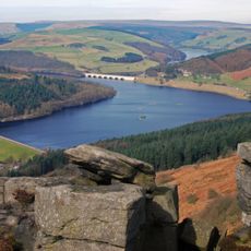
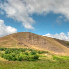
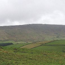
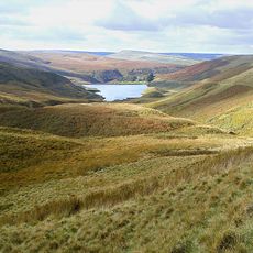
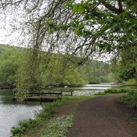
The Pennine mountains in the west, the North York Moors in the northeast and the chalk hills of the Yorkshire Wolds in the east create three entirely different landscapes within the same territory. Visitors wanting to see all three need several days and cross moorland, river valleys and rolling hills along the way.
The community of curious travelers
AroundUs brings together thousands of curated places, local tips, and hidden gems, enriched daily by 60,000 contributors worldwide.