Clwyd, Administrative region in northern Wales, United Kingdom
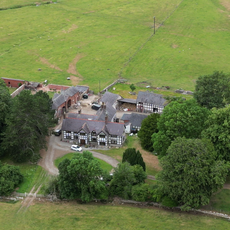
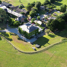
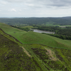
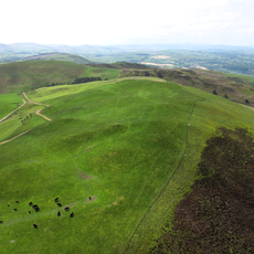
Clwyd is a preserved county in northern Wales with diverse landscapes ranging from the Irish Sea coast to mountains and agricultural valleys inland. It contains four main administrative areas that together showcase different natural and urban characteristics.
The region evolved from ancient Celtic settlements and Roman occupation to become a preserved county in 1994 following major administrative reforms in Wales. This restructuring fundamentally changed how local governance was organized and managed.
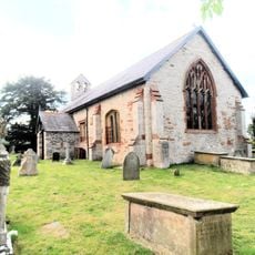
The Welsh language and culture are woven through daily life here, visible in bilingual signs, traditional place names, and local customs throughout communities. Visitors notice how deeply this heritage shapes how people talk and interact with their surroundings.
The region is best explored by car, as attractions and communities are spread across a large area with varied terrain. Public transportation connects main towns, but having your own transport gives more freedom to discover different parts.
The Pontcysyllte Aqueduct carries boats across the River Dee on an elevated stone structure that towers over 100 feet (38 meters) above the water. This engineering feat draws visitors who walk its narrow towpath or float across on boats.
The community of curious travelers
AroundUs brings together thousands of curated places, local tips, and hidden gems, enriched daily by 60,000 contributors worldwide.