Chesil Beach, Shingle beach barrier in Dorset, England
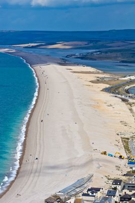
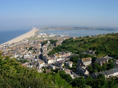
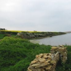
Chesil Beach is a shingle shoreline in Dorset, England, running 18 miles (29 kilometers) along the English Channel and separating the coast from Fleet Lagoon. The shore rises steeply and consists of smooth stones that vary in size and shape, with smaller pebbles at one end and larger, flattened stones at the other.
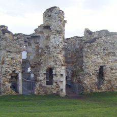
The formation developed around 6,000 years ago through sediment movement during rising sea levels after the last ice age. Military forces used the area during the Second World War, and some structures from that period remain visible along the shore.
Local fishers still launch small boats from the shore, using flat-bottomed designs to handle the steep banks of pebbles. The sound of water moving across the stones helps experienced sailors determine their position along the coast.
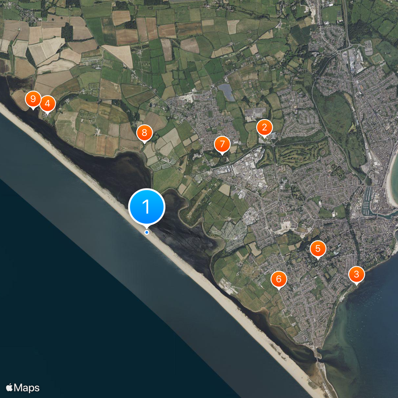
Visitors can reach the shore through marked entry points at West Bexington, Burton Bradstock, and West Bay, where parking is available. Currents are strong here and swimming is not recommended, as the stones shift underfoot and the sea deepens quickly.
The shore holds roughly 180 billion pebbles that sort themselves naturally by size, growing smaller from east to west. Fishers used to identify their location by feeling the size of the stones beneath their feet.
The community of curious travelers
AroundUs brings together thousands of curated places, local tips, and hidden gems, enriched daily by 60,000 contributors worldwide.