Tidworth, Civil parish and garrison town in Wiltshire, England
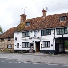
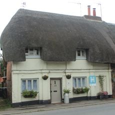
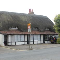
Tidworth is a town situated on the eastern edge of Salisbury Plain, with the River Bourne running through the center of the community. The town center contains shops, medical facilities, schools, and other services that serve both residents and visitors to the area.
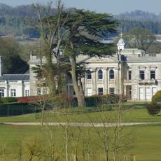
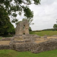
The settlement of Tidworth existed in 1086 when it was recorded in official documents with separate households in two distinct areas. A major transformation occurred in the late 1800s when a country house was converted into a military training facility serving Salisbury Plain.
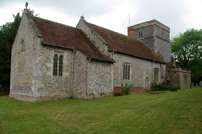
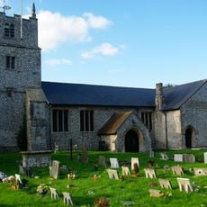
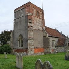
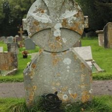
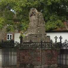
The Holy Trinity Church displays architectural elements from different periods, reflecting the area's long settlement history. Walking through the church, visitors can observe how building styles and decorative details changed over the centuries.
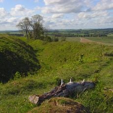
The town center is easy to navigate and provides all essential services for day visitors and residents. Those wanting to explore the surroundings can follow paths along the Bourne and access the nearby Salisbury Plain.
The conversion of Tedworth House from a private country estate to a military facility shows how a single building could reshape an entire community. This change brought new residents and infrastructure to the area, fundamentally altering the character of the place from the late 1800s onward.
Location: Wiltshire
Website: http://tidworthtowncouncil.gov.uk
GPS coordinates: 51.23500,-1.66500
Latest update: December 20, 2025 14:02
Tedworth House
960 m
Sidbury Camp
2.7 km
St Mary's Church, South Tidworth
747 m
Ludgershall Castle
3.9 km
The Crown Inn
3.8 km
Church of St James
3.7 km
Church of the Holy Trinity
547 mMompessan Monument In Churchyard, Approximately 13 Metres South West Of Tower, Church Of The Holy Trinity
531 m
Queens Head Public House
3.9 km
Tidworth Library
403 m
Unidentified Monument In Churchyard, Approximately 16 Metres South Of South Porch, Church Of St James
3.7 km
Unidentified Monument In Churchyard, Approximately 13 Metres South Of Tower, Church Of St James
3.7 kmMaton Monument In Churchyard, Approximately 3 Metres West Of West Tower, Church Of Holy Trinity
540 m
The Thatched Cottage
3.9 km
Milestone 1 Mile West Of Ludgershall Village
3.4 kmSeven Barrows: a barrow cemetery west of Clarendon Hill Reservoir
1.7 km
Ludgershall village cross
3.8 km
15, 17 And 19, Castle Street
3.9 kmLinear earthwork NW of Sidbury camp
3.1 km
1 and 3, Castle Street
3.8 kmBoundary earthwork on Lamb Down
2 kmBowl barrow: one of four round barrows on Hare Warren
2.2 kmEnclosure on Milston Down
3.3 kmEarthwork enclosure north-east of Brigmerston Plantation
2.8 kmSection of boundary earthwork east of Sidbury Hill
2.5 kmEnclosure, probably unfinished, west of Sun Plantation
3 kmBowl barrow: one of four round barrows on Hare Warren
2.3 kmBowl barrow south-east of Sidbury Hill
2.2 kmVisited this place? Tap the stars to rate it and share your experience / photos with the community! Try now! You can cancel it anytime.
Discover hidden gems everywhere you go!
From secret cafés to breathtaking viewpoints, skip the crowded tourist spots and find places that match your style. Our app makes it easy with voice search, smart filtering, route optimization, and insider tips from travelers worldwide. Download now for the complete mobile experience.
A unique approach to discovering new places❞
— Le Figaro
All the places worth exploring❞
— France Info
A tailor-made excursion in just a few clicks❞
— 20 Minutes