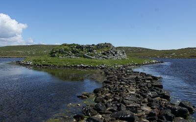
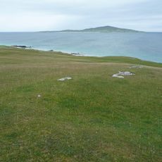
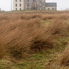
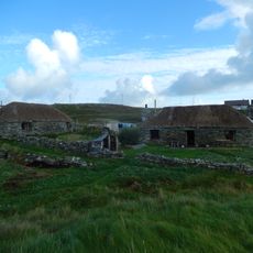
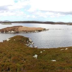
Dun an Sticir, Iron Age broch in North Uist, Scotland.
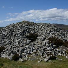
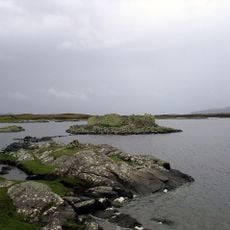
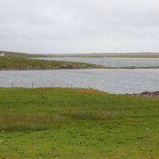
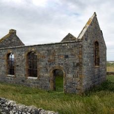
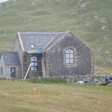
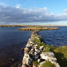
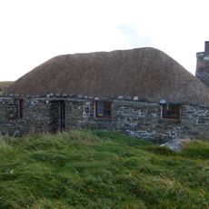
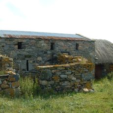
Dun an Sticir is a circular stone broch from the Iron Age situated on a small islet within Loch an Sticir, connected to the mainland by stone causeways. The walls reach about 11 feet in thickness and contain a rectangular medieval hall built within the original circular structure.
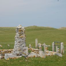
The structure was built between the 5th and 1st centuries before Christ as part of an Iron Age defensive system. It was later used as a stronghold by Hugh MacDonald in the 1600s, showing a long history of military use across different periods.
The name means "Fort of the Skulker" and reflects how Iron Age communities engineered their defenses with purpose. The stone walls demonstrate practical knowledge about fortress construction that was valued and passed down.
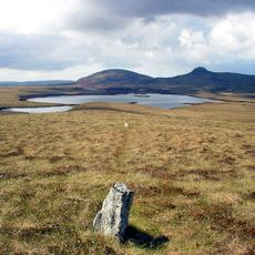
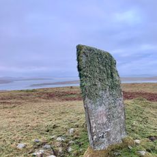
Waterproof footwear is essential since water levels fluctuate throughout the day and affect access across the stone causeways. Plan your visit when water levels are lower to make crossing easier and safer.
A rectangular medieval hall was built inside the original circular broch by later inhabitants, creating an unusual architectural overlap. This layering of different construction periods within one structure makes the site a rare example of how ancient buildings were repurposed across centuries.
Location: Outer Hebrides
Location: North Uist
GPS coordinates: 57.68148,-7.20764
Latest update: December 14, 2025 12:26
Barpa Langass
13.3 km
Pobull Fhinn
13.8 km
South Lewis, Harris and North Uist NSA
8.5 km
Fir Bhreige
6 km
Berneray Causeway
2.5 km
Struan Cottage
11 km
Dun Torcuill,dun,Loch an Duin
4 km
Bac Mic Connain
12.8 km
Beinn Shleibhe
6.4 km
Weavers Point Lighthouse
10.4 km
Loch Bhrusda
5.3 km
Taigh Chearsabhagh
9.6 km
Harris, Bernaray, Thatched Cottage
5.1 km
North Uist, Trumisgarry Church
4.1 km
Berneray Parliamentary Church
5.5 km
Angus Macaskill Monument
2.5 km
North Uist, Lochmaddy, Sponish House
8.5 km
Eilean Domhnuill,settlement,Loch Olabhat
15.2 km
Cnoc an Dudain, 7a Ruisgarry, Berneray, Isle of North Uist
5.1 km
Cnoc an Dudain, 7b Ruisgarry, Berneray
5.1 km
Berneray, Baile, 'teampull'
5.2 km
Cladh Maolrithe,standing stones,cashel,chapel and shielings
3.4 km
Loch Hunder,dun S of Lochmaddy
12.5 km
Harris, Bernaray, Thatched Cottage At Laimrig Ruadh
5 km
Berneray, Baile, Ruisgarry, Barn
5.2 km
Harris, Leverburgh, Water Tower
14.8 km
South Basin
9.7 km
Berneray, Church Road, Berneray War Memorial
4.7 kmVisited this place? Tap the stars to rate it and share your experience / photos with the community! Try now! You can cancel it anytime.
Discover hidden gems everywhere you go!
From secret cafés to breathtaking viewpoints, skip the crowded tourist spots and find places that match your style. Our app makes it easy with voice search, smart filtering, route optimization, and insider tips from travelers worldwide. Download now for the complete mobile experience.
A unique approach to discovering new places❞
— Le Figaro
All the places worth exploring❞
— France Info
A tailor-made excursion in just a few clicks❞
— 20 Minutes