South Lewis, Harris and North Uist NSA, Protected natural area in Outer Hebrides, Scotland
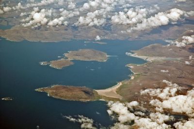
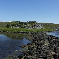
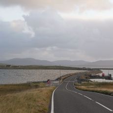
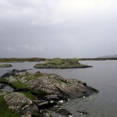
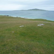
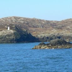
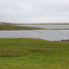
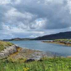
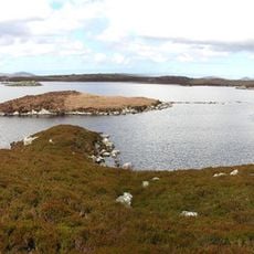
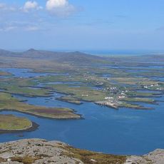
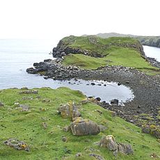
The protected area spans more than 200,000 hectares across southwest Lewis, Harris, and North Uist with mountains, deep sea lochs, sandy beaches, and rocky headlands. The landscape shifts between high ridges and broad bays, creating varied habitats and views.
The area received formal protection status in 1981 following landscape evaluations that emerged from post-World War II conservation efforts. This designation marked a turning point for preserving these Scottish islands.
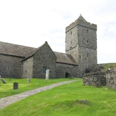
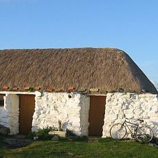
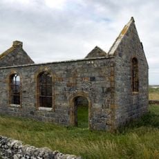
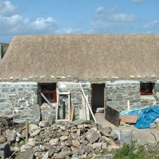
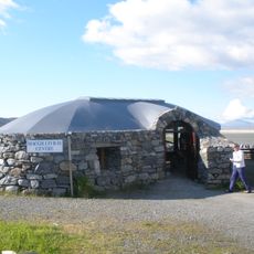
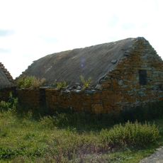
Local communities keep Gaelic traditions alive through music, language, and traditional crafts visible in villages and daily life. These practices shape how people interact with the land and each other throughout the islands.
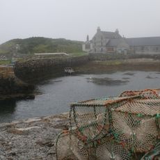
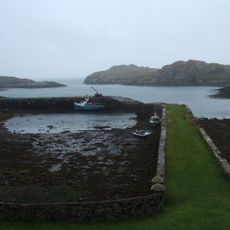
The area is accessible through an established network of ferries connecting the islands, with Lochmaddy as a primary terminal. Visitors should plan around tides and weather, which can affect access to different parts.
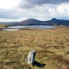
Clisham, the highest peak in the Outer Hebrides, rises above the protected area and offers views across the diverse ecosystems from mountains to coast. This single summit connects all the varied landscapes visually and geographically.
The community of curious travelers
AroundUs brings together thousands of curated places, local tips, and hidden gems, enriched daily by 60,000 contributors worldwide.