
Stondon, village and civil parish in Bedfordshire, UK
Location: Central Bedfordshire
GPS coordinates: 51.99673,-0.31337
Latest update: March 4, 2025 13:18
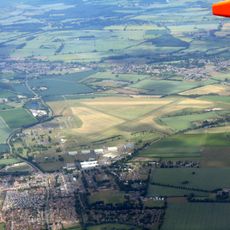
RAF Henlow
2.2 km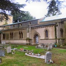
Church of St Katherine
3.7 kmOughtonhead Common
4.1 km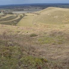
Knocking Hoe
4.7 km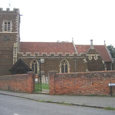
Parish Church of All Saints, Campton
4.6 km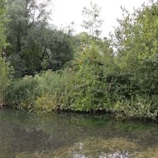
Oughtonhead Nature Reserve
4.2 km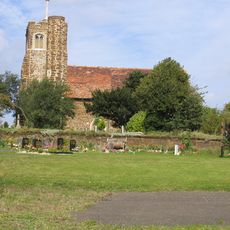
St Mary's Church, Lower Gravenhurst
4.9 km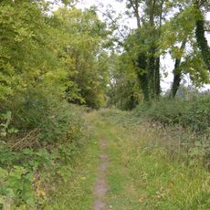
Arlesey Old Moat and Glebe Meadows
4.1 km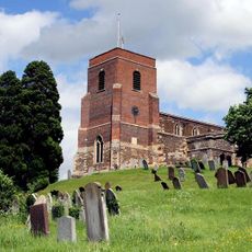
Church of All Saints
3.6 km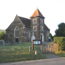
Church of All Saints
1.4 km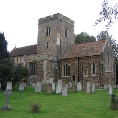
Church of St Mary the Virgin
2.8 km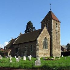
Church of St Peter (C of E) at Corner with Holwell Road
1.3 km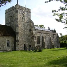
Church of St Mary (Church of England)
3.1 km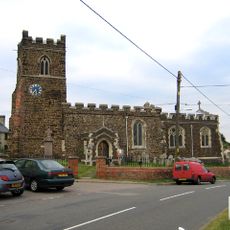
Parish Church of Saint Giles
4.8 km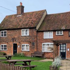
The Fox Inn
2.9 km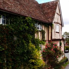
42, Church Street
3.5 km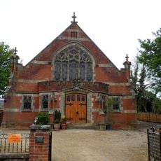
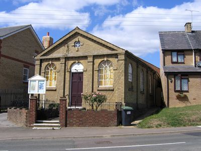
Pirton Methodist Church
3 km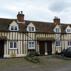
14, 14A, 16 And 16A, Church Street
3.3 km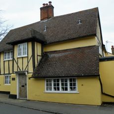
The Five Bells Public House
3.4 km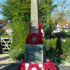
Pirton War Memorial, Hertfordshire
3 km
Walnut Tree Farmhouse
3.2 km
High Down House With Buildings And Walls Around Courtyard On North Side
4.2 km
Church Farmhouse
1.3 km
Cadwell Farmhouse
3.7 km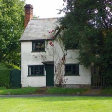
Three Gables
3.3 km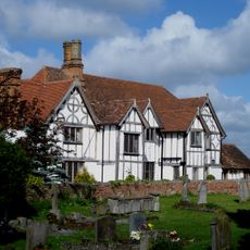
Manor House
2.8 km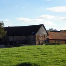
Farmbuildings Fronting Road At Walnut Tree Farm
3.2 km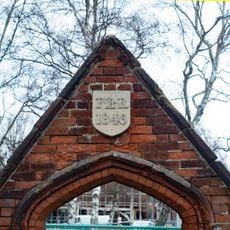
Gateway And Frontage Wall To Ickleford Jmi School
3.7 kmVisited this place? Tap the stars to rate it and share your experience / photos with the community! Try now! You can cancel it anytime.
Discover hidden gems everywhere you go!
From secret cafés to breathtaking viewpoints, skip the crowded tourist spots and find places that match your style. Our app makes it easy with voice search, smart filtering, route optimization, and insider tips from travelers worldwide. Download now for the complete mobile experience.

A unique approach to discovering new places❞
— Le Figaro
All the places worth exploring❞
— France Info
A tailor-made excursion in just a few clicks❞
— 20 Minutes