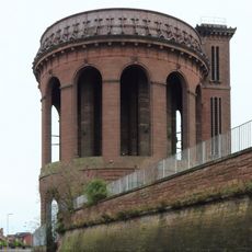
Prince Rupert's Tower, Lock-up tower in Everton, England
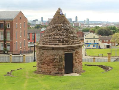
Prince Rupert's Tower is an octagonal stone building with a conical slate roof in Everton, Liverpool. The thick walls enclose a single ground-floor room, with small openings facing outward.
The building was constructed in 1787 as a holding cell for troublemakers, who were kept there until their court appearance the next morning. The tower was later named after Prince Rupert, who camped here during the siege of Liverpool Castle in 1644.
The tower appears on the badge of Everton Football Club, where it has served as a symbol of the club's connection to the neighborhood since 1938. Visitors often recognize the small building when they see team shirts or flags around the area.
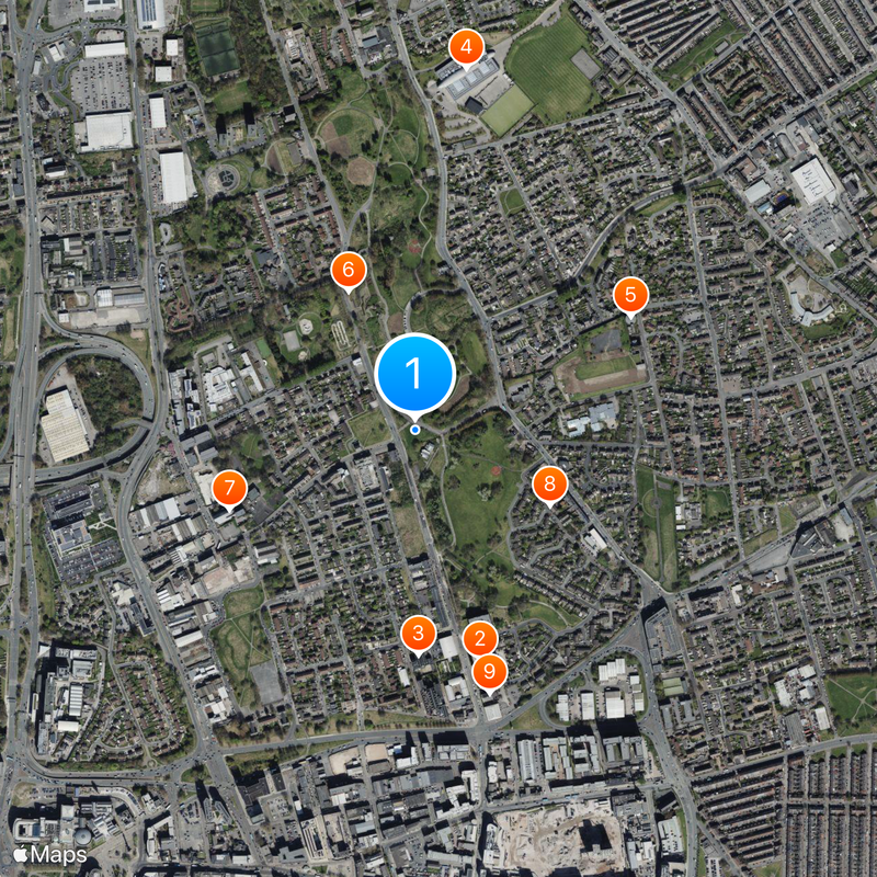
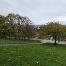
The building stands in Rupert Lane Recreation Ground and can be viewed from outside, as it is lit at night. Access to the interior is not possible, but walkers can see the tower up close from the surrounding grass.
Despite its modest size, the tower is protected as an example of 18th-century local law enforcement. Only a few of these village lock-ups survive in England, making this building a rare witness to the past.
Location: Liverpool
Inception: 1787
Floors above the ground: 1
GPS coordinates: 53.41740,-2.96991
Latest update: December 5, 2025 22:25
Liverpool Collegiate School
497 m
St Francis Xavier
468 m
North Liverpool Academy
761 m
Everton water tower
507 m
Everton Park
321 m
St Mary of the Angels, Liverpool, England
421 m
Everton Road drill hall
323 m
Particular Baptist Chapel
569 m
Saint Francis Xavier's Schools
556 m
115, 117, And 119, Shaw Street
61 m
Prince Of Wales Public House
781 m
Bowden Drinking Fountain At Corner Of Boaler Street
723 m
65, Everton Road
304 m
2, Islington Square
598 m
War Memorial at North End of Whitley Gardens
301 m
41-49, Shaw Street
382 m
55, Shaw Street
334 m
51, Shaw Street
350 m
South Building Of Water Works
492 m
3, Islington Square
597 m
Barclays Bank
780 m
69 And 71, Shaw Street
278 m
53, Shaw Street
342 m
57, 59 And 61, Everton Road
345 m
34 - 36, St Anne Street, Liverpool
623 m
57, Shaw Street
324 m
63, 65 And 67, Shaw Street
301 m
59 And 61, Shaw Street
319 mVisited this place? Tap the stars to rate it and share your experience / photos with the community! Try now! You can cancel it anytime.
Discover hidden gems everywhere you go!
From secret cafés to breathtaking viewpoints, skip the crowded tourist spots and find places that match your style. Our app makes it easy with voice search, smart filtering, route optimization, and insider tips from travelers worldwide. Download now for the complete mobile experience.
A unique approach to discovering new places❞
— Le Figaro
All the places worth exploring❞
— France Info
A tailor-made excursion in just a few clicks❞
— 20 Minutes