
Meppershall, village and civil parish in Bedfordshire, UK
Location: Central Bedfordshire
GPS coordinates: 52.01700,-0.34000
Latest update: March 5, 2025 17:09

Wrest Park
5 km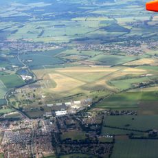
RAF Henlow
2.5 km
Chicksands Priory
3.2 km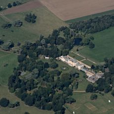
Southill Park
5.4 km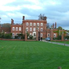
Henlow Grange
4.6 km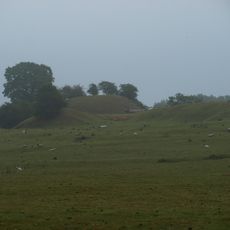
Cainhoe Castle
4.4 km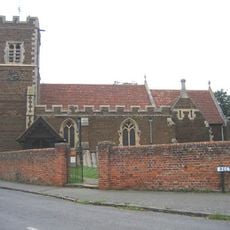
Parish Church of All Saints, Campton
1.7 km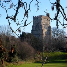
Church of St Mary the Virgin, Henlow
4.3 km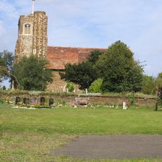
St Mary's Church, Lower Gravenhurst
3.3 km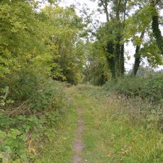
Arlesey Old Moat and Glebe Meadows
4.9 km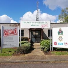
Military Intelligence Museum
3.5 km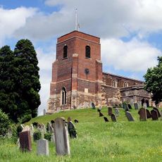
Church of All Saints
3.2 km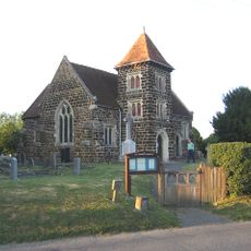
Church of All Saints
1.5 km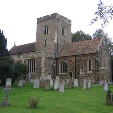
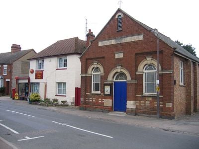
Church of St Mary the Virgin
948 m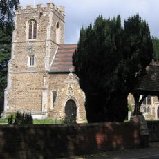
Church of All Saints
3.6 km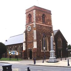
Parish Church of St Michael and All Angels
2.4 km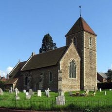
Church of St Peter (C of E) at Corner with Holwell Road
4.2 km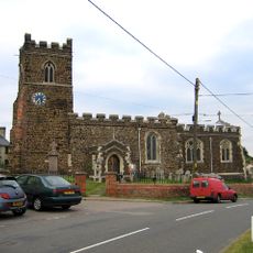
Parish Church of Saint Giles
2.8 km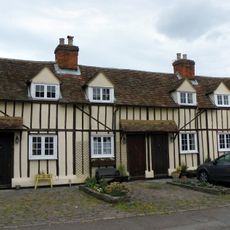
14, 14A, 16 And 16A, Church Street
3 km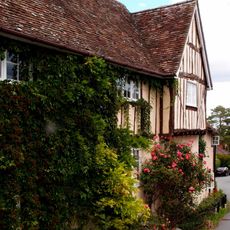
42, Church Street
3.2 km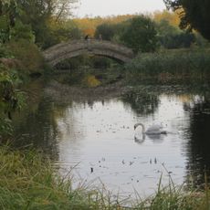
Chinese Bridge Across North End Of Broad Water
4.9 km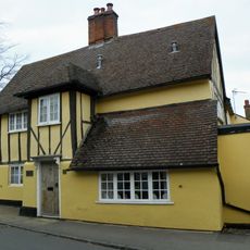
The Five Bells Public House
3 km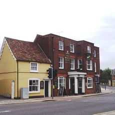
The White Hart Public House
2.5 km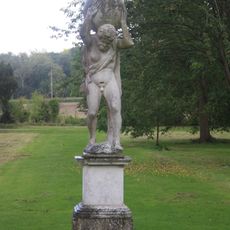
Statue of Atlas Approximately 250M South-East of Wrest Park House
4.9 km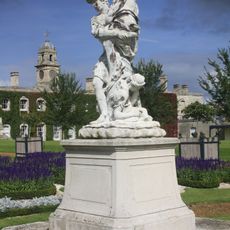
Four Statuary Groups in the South Parterre (also known as the French Garden) south of Wrest House, depicting Aeneas and Anchises, the Abduction of Helen of Troy, Venus and Adonis and Meleager and Atalanta
5 km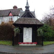
Well Head And War Memorial At Junction With Grange Street
3.4 km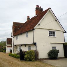
Church Farmhouse
4.1 km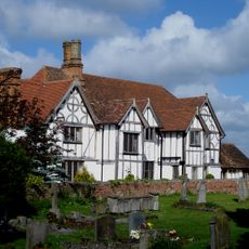
Manor House
986 mVisited this place? Tap the stars to rate it and share your experience / photos with the community! Try now! You can cancel it anytime.
Discover hidden gems everywhere you go!
From secret cafés to breathtaking viewpoints, skip the crowded tourist spots and find places that match your style. Our app makes it easy with voice search, smart filtering, route optimization, and insider tips from travelers worldwide. Download now for the complete mobile experience.

A unique approach to discovering new places❞
— Le Figaro
All the places worth exploring❞
— France Info
A tailor-made excursion in just a few clicks❞
— 20 Minutes