Great Ayton, village in North Yorkshire, England, UK
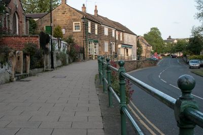
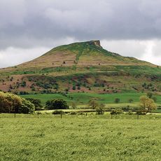
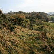
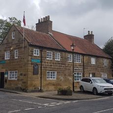
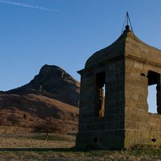
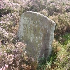
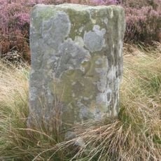
Great Ayton is a village in North Yorkshire situated at the foot of the Cleveland Hills, with access to walking trails and surrounding views. It has a small high street with shops, cafes, and pubs, traditional churches, and lies near Roseberry Topping, a distinctive hill in the landscape.
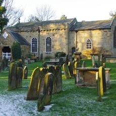
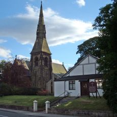
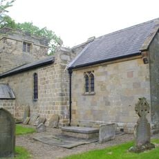
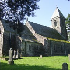
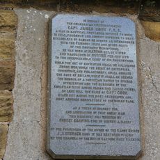
The village is recorded in the Domesday Book from the 11th century, and All Saints Church dates to the 12th century. It gained wider recognition as the childhood home of Captain James Cook, the famous 18th-century explorer.
The village maintains a strong connection to James Cook, the explorer who spent part of his childhood here, and this heritage shapes the local identity. Community groups actively preserve traditions like sword dancing and organize events that keep the village's history alive through shared activities.
The village is accessible by bus via the A173 and B1292 roads and has a train station with connections to larger cities. There are parking areas, public toilets, and several accommodations, restaurants, and cafes for visitors.
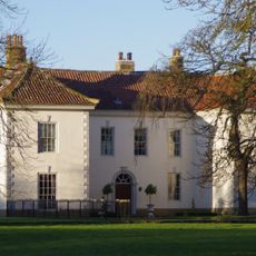
A stone obelisk marks the site where James Cook's family home once stood before it was moved to Melbourne in the 1930s. This unexpected connection between the village and Australia makes it a distinctive historical landmark.
The community of curious travelers
AroundUs brings together thousands of curated places, local tips, and hidden gems, enriched daily by 60,000 contributors worldwide.