Chest opened
+${chestReward.xp} XP
Explorer
NOUVEAU ×${chestReward.collectible.quantity}
tapez pour fermer
Chest locked

Open chests in the app

Around Us is built for your phone — chests unlock when you walk, explore and capture nearby places.

Enable Location

We need your location to show you interesting places around you

Discover nearby places

Find interesting locations and hidden gems around you

Precise directions

Get accurate directions and distances to places

Your location is never shared with other users. It's only used when you tap the location button.

Metropolitan Borough of Hackney

Log in to your account

Start exploring — it's free

Trusted by 73,020 travelers worldwide

Continue with Google
Continue with Apple
or

We will send you a code to connect

By continuing, you accept our Terms and Conditions and our Privacy Policy

Check your inbox

We've sent a pincode in your inbox. Please enter the code below.

Metropolitan Borough of Hackney
Discussion Reviews 1 Photos
11.6k Popularity

Metropolitan Borough of Hackney, Administrative district in East London, England

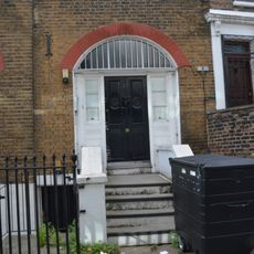
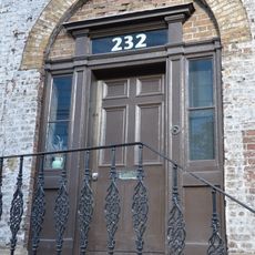
The Metropolitan Borough of Hackney was an administrative district in East London, stretching between the City of London and the River Lea. It comprised residential neighborhoods and operated as an independent local government unit with multiple wards serving different sections of the area.

It was established in 1899 as a result of London's government reorganization, giving the growing area its own administrative structure. The arrangement lasted until 1965, when it ceased to exist as a separate entity following a merger with neighboring districts.

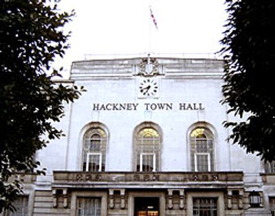
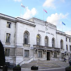
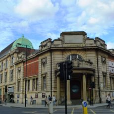
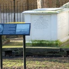
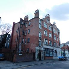
The town hall stands as a symbol of local identity, showcasing Art Deco design from the 1930s and displaying heraldic elements that reference the area's past. This building anchored community life and remains a visual marker of how the neighborhood saw itself during the early twentieth century.

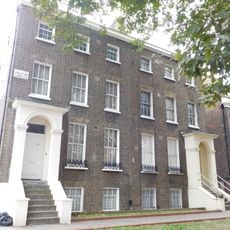
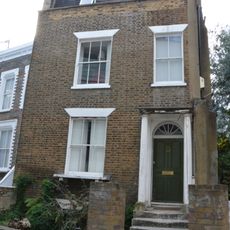
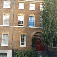
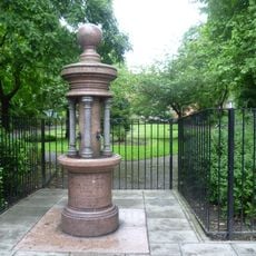
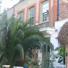
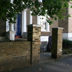
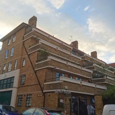
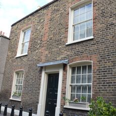
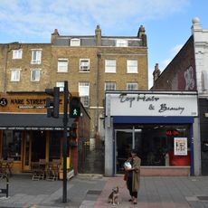
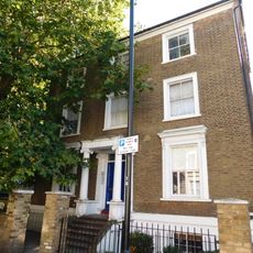
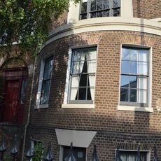
You can explore the area on foot to get a sense of its former boundaries and structure, using landmarks like the town hall as reference points. The neighborhood contains various residential streets and local shops that give a sense of how the community was organized during that period.

The area transformed from scattered rural villages into a crowded urban district during the industrial era, with growth so rapid that it required new administrative structures to manage local services. This expansion happened relatively quickly, fundamentally changing the character of what had once been countryside.

The community of curious travelers

AroundUs brings together thousands of curated places, local tips, and hidden gems, enriched daily by 60,000 contributors worldwide.

Start exploring
Location
Shares border with
Municipal Borough of Tottenham
GPS coordinates
51.54510,-0.05640
Latest update
December 7, 2025 20:49
Reviews
Share your experience

No review yet

Discussions
Start a discussion...

No discussion yet

« Metropolitan Borough of Hackney - Administrative district in East London, England » is provided by Around Us (aroundus.com). Images and texts are derived from Wikimedia project under a Creative Commons license. You are allowed to copy, distribute, and modify copies of this page, under the conditions set by the license, as long as this note is clearly visible.

Discover hidden gems everywhere you go!

From secret cafés to breathtaking viewpoints, skip the crowded tourist spots and find places that match your style. Our app makes it easy with voice search, smart filtering, route optimization, and insider tips from travelers worldwide. Download now for the complete mobile experience.

Around Us App Screenshot

A unique approach to discovering new places

Le Figaro

All the places worth exploring

France Info

A tailor-made excursion in just a few clicks

20 Minutes

Around Us
Travel Guide & Maps
Download

Send to your phone

QR Code
1

Open the camera app on your mobile.

2

Point at the QR code with your camera. A notification will appear.

3

Tap the notification to open the link.