Tregeseal, human settlement in United Kingdom
Location: Cornwall
Elevation above the sea: 98.5 m
GPS coordinates: 50.13341,-5.68328
Latest update: March 14, 2025 03:18
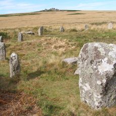
Tregeseal East stone circle
1.8 km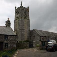
St Just in Penwith Parish Church
1 km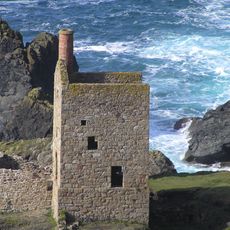
Crown Mines
1.3 km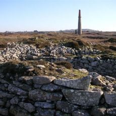
Ballowall Barrow
1.8 km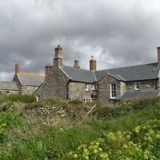
Botallack Manor House
640 m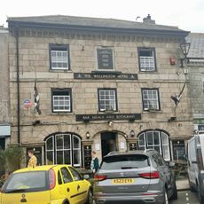
The Wellington Hotel
1.1 km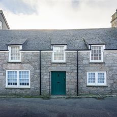
4, Church Street
1 km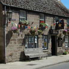
The Star Inn
1.1 km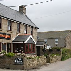
The Queen's Arms Inn
371 m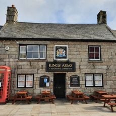
The Kings Arms Inn
1 km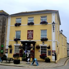
Commercial Hotel
1.1 km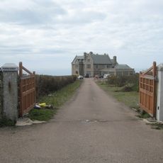
Porthledden House
1.4 km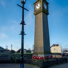
War Memorial Clock Tower
993 m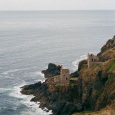
The Crowns Engine Houses
1.3 km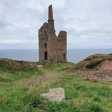
Cargodna Pumping House
762 m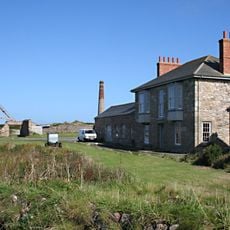
The Count House, Botallack Mine North West Of Botallack
857 m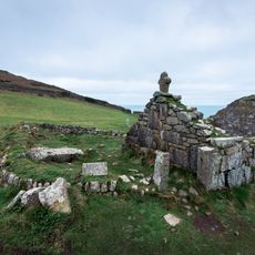
Medieval chapel called St Helen's Chapel with a dwelling and enclosure at Cape Cornwall
1.7 km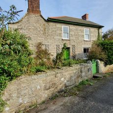
Carrallack House
1.5 km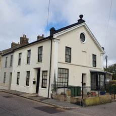
1 and 2, Market Street
1 km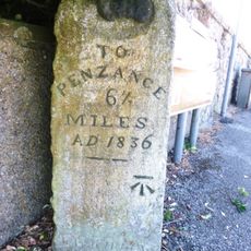
Guide Stone At Junction Of A3071 And B3306
1.5 km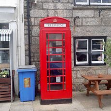
K6 Telephone Kiosk
1 km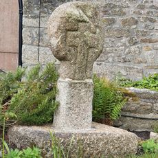
Churchyard cross in St Just's churchyard, 10m west of the church
1 km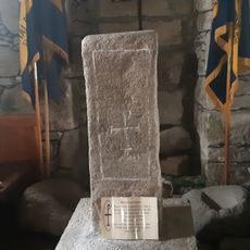
Cross slab at parish church
1 km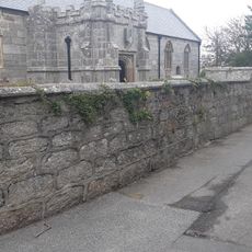
Churchyard Wall
1 km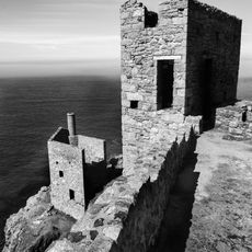
Tin mine calciner at Botallack Mine
942 m
6, Market Square
1 km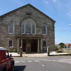
Methodist Church (former Wesleyan Chapel) And Attached Vestry
850 m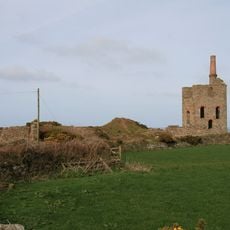
Higher Levant Mine
1.6 kmVisited this place? Tap the stars to rate it and share your experience / photos with the community! Try now! You can cancel it anytime.
Discover hidden gems everywhere you go!
From secret cafés to breathtaking viewpoints, skip the crowded tourist spots and find places that match your style. Our app makes it easy with voice search, smart filtering, route optimization, and insider tips from travelers worldwide. Download now for the complete mobile experience.

A unique approach to discovering new places❞
— Le Figaro
All the places worth exploring❞
— France Info
A tailor-made excursion in just a few clicks❞
— 20 Minutes