Chest opened
+${chestReward.xp} XP
Explorer
NOUVEAU ×${chestReward.collectible.quantity}
tapez pour fermer
Chest locked

Open chests in the app

Around Us is built for your phone — chests unlock when you walk, explore and capture nearby places.

Enable Location

We need your location to show you interesting places around you

Discover nearby places

Find interesting locations and hidden gems around you

Precise directions

Get accurate directions and distances to places

Your location is never shared with other users. It's only used when you tap the location button.

Aldridge

Log in to your account

Start exploring — it's free

Trusted by 72,893 travelers worldwide

Continue with Google
Continue with Apple
or

We will send you a code to connect

By continuing, you accept our Terms and Conditions and our Privacy Policy

Check your inbox

We've sent a pincode in your inbox. Please enter the code below.

Aldridge
Discussion Reviews 3 Photos
24.6k Popularity

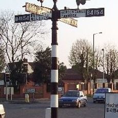
Aldridge, Town in West Midlands, England

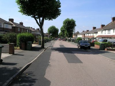
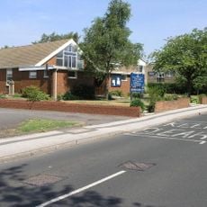
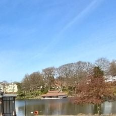
Aldridge is a town in the West Midlands region north of Birmingham. It has residential neighborhoods with terraced houses mixed with shopping areas and commercial buildings typical of English towns.

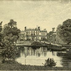
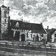
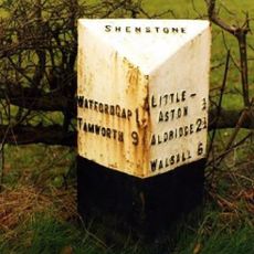
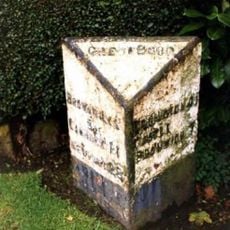
The settlement was documented as far back as 1086 and began as a farming community. It transformed into an industrial area during the 1800s, growing rapidly due to new railway connections and factory development.

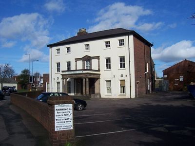
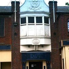
The town center mixes Victorian terraced houses with modern shops, reflecting how the place has grown and changed over generations. You can see how residents use the local amenities, creating a sense of community that extends beyond just passing through.

Buses run regularly between the town and nearby Walsall and Birmingham. Parking is available near shopping areas and in the town center, making it easy to explore on foot.

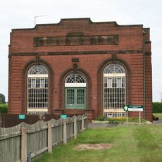
A former airfield once operated passenger flights after World War II, playing a role in the town's transportation history. Very few reminders of this aviation era remain visible today.

The community of curious travelers

AroundUs brings together thousands of curated places, local tips, and hidden gems, enriched daily by 60,000 contributors worldwide.

Start exploring
Location
GPS coordinates
52.60600,-1.91787
Latest update
December 20, 2025 12:18
Around this place
Beacon Way
United Kingdom

Beacon Way

3.4 km
Little Aston Hall
United Kingdom

Little Aston Hall

3.1 km
St. Mary's Church, Aldridge
United Kingdom

St. Mary's Church, Aldridge

403 m
St Martin's Church Walsall
United Kingdom

St Martin's Church Walsall

3.6 km
Walsall Central Library
United Kingdom

Walsall Central Library

4.7 km
Whittimere Street drill hall, Walsall
United Kingdom

Whittimere Street drill hall, Walsall

4.6 km
Jockey Fields
United Kingdom

Jockey Fields

2.6 km
St James' Church, Brownhills
United Kingdom

St James' Church, Brownhills

4.6 km
St. Michael and All Angels Pelsall Parish Church
United Kingdom

St. Michael and All Angels Pelsall Parish Church

4.2 km
Aldridge Transport Museum
United Kingdom

Aldridge Transport Museum

745 m
Church of St Peter
United Kingdom

Church of St Peter

3.6 km
Church of St Peter
United Kingdom

Church of St Peter

2.9 km
Church of St Michael
United Kingdom

Church of St Michael

3.3 km
The Concrete Hippopotamus
United Kingdom

The Concrete Hippopotamus

4.7 km
The Old Irish Harp Public House
United Kingdom

The Old Irish Harp Public House

1.9 km
The Parish Church of St John
United Kingdom

The Parish Church of St John

2.5 km
Walsall Wood War Memorial
United Kingdom

Walsall Wood War Memorial

2.5 km
Church of St Mark
United Kingdom

Church of St Mark

2.7 km
Aldridge War Memorial
United Kingdom

Aldridge War Memorial

368 m
Sandhills Pumping Station
United Kingdom

Sandhills Pumping Station

4.2 km
Streetly War Memorial Cross Outside All Saints' Church
United Kingdom

Streetly War Memorial Cross Outside All Saints' Church

3.5 km
Fingerpost
United Kingdom

Fingerpost

4.7 km
The Boat House Adjoining Hatherton Lake In Walsall Aboretum
United Kingdom

The Boat House Adjoining Hatherton Lake In Walsall Aboretum

4.1 km
Milepost At Sk 094 005
United Kingdom

Milepost At Sk 094 005

3.8 km
Milepost, Chester Road, Streetly, between Bridle Lane & Foley Road jct
United Kingdom

Milepost, Chester Road, Streetly, between Bridle Lane & Foley Road jct

3.6 km
Gate Piers With Attached Wall, Railings And Gates At Main Entrance To Little Aston Hall
United Kingdom

Gate Piers With Attached Wall, Railings And Gates At Main Entrance To Little Aston Hall

3.7 km
Milepost, SW of Shelfield, outside No. 298 Lichfield Road
United Kingdom

Milepost, SW of Shelfield, outside No. 298 Lichfield Road

2.7 km
Milepost, Walsall Road, by No. 138 , E of jct with A452 (Old Irish Harp PH) in Aldridge Road
United Kingdom

Milepost, Walsall Road, by No. 138 , E of jct with A452 (Old Irish Harp PH) in Aldridge Road

2.3 km
Show the full map
Reviews
Share your experience

No review yet

Discussions
Start a discussion...

No discussion yet

« Aldridge - Town in West Midlands, England » is provided by Around Us (aroundus.com). Images and texts are derived from Wikimedia project under a Creative Commons license. You are allowed to copy, distribute, and modify copies of this page, under the conditions set by the license, as long as this note is clearly visible.

Discover hidden gems everywhere you go!

From secret cafés to breathtaking viewpoints, skip the crowded tourist spots and find places that match your style. Our app makes it easy with voice search, smart filtering, route optimization, and insider tips from travelers worldwide. Download now for the complete mobile experience.

Around Us App Screenshot

A unique approach to discovering new places

Le Figaro

All the places worth exploring

France Info

A tailor-made excursion in just a few clicks

20 Minutes

Around Us
Travel Guide & Maps
Download

Send to your phone

QR Code
1

Open the camera app on your mobile.

2

Point at the QR code with your camera. A notification will appear.

3

Tap the notification to open the link.