Enable Location

We need your location to show you interesting places around you

Discover nearby places

Find interesting locations and hidden gems around you

Precise directions

Get accurate directions and distances to places

Your location is never shared with other users. It's only used when you tap the location button.

Forest Gate

Log in to your account

Start exploring — it's free

Trusted by 68,064 travelers worldwide

Continue with Google
Continue with Apple
or

We will send you a code to connect

By continuing, you accept our Terms and Conditions and our Privacy Policy

Check your inbox

We've sent a pincode in your inbox. Please enter the code below.

Forest Gate
Discussion Reviews 1 Photos
56.9k Popularity

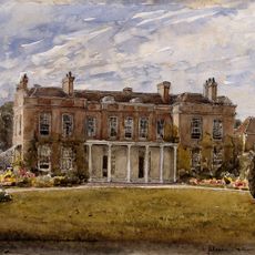
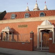
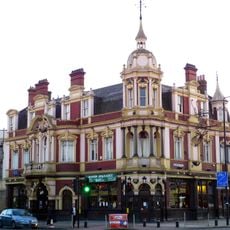
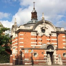
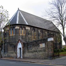
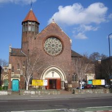
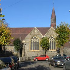
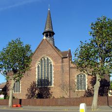
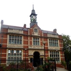
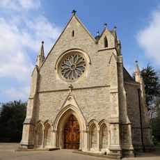
Forest Gate, Residential district in East London, England

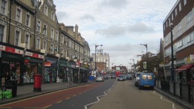
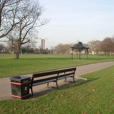
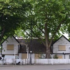
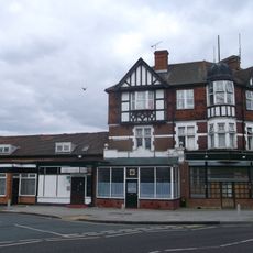
Forest Gate is a district in the eastern part of London spread across several streets lined with Victorian terraced houses. The area includes residential roads with brick buildings, small parks, and commercial rows running along the main routes.

A gate was erected in the 17th century on Woodford Road to prevent cattle from wandering onto the old thoroughfare. This barrier gave the later residential area its name.

Shops along Woodgrange Road sell spices, fabrics and groceries from South Asian and African countries. Restaurants serve dishes prepared by Bangladeshi families and Nigerian traders, while smaller cafés offer full English breakfast.

The Elizabeth Line connects the station to central areas with frequent trains running both directions during the day. Local bus routes pass through the main streets and stop near shops and residential sections.

A gold bead with garnet inlay from the 6th century was found during sewer work in 1875 behind a pub. This Anglo-Saxon ornament suggests early settlement in the area long before the modern streets were laid out.

The community of curious travelers

AroundUs brings together thousands of curated places, local tips, and hidden gems, enriched daily by 60,000 contributors worldwide.

Start exploring
GPS coordinates
51.55080,0.02739
Latest update
December 13, 2025 19:52
Around this place
Wanstead Flats
United Kingdom

Wanstead Flats

825 m
City of London Cemetery and Crematorium
United Kingdom

City of London Cemetery and Crematorium

1.8 km
West Ham Park
United Kingdom

West Ham Park

1.5 km
Spotted Dog
United Kingdom

Spotted Dog

1 km
Upton House, Newham
United Kingdom

Upton House, Newham

1.3 km
Shri Swaminarayan Mandir, London
United Kingdom

Shri Swaminarayan Mandir, London

1.3 km
Earl of Essex
United Kingdom

Earl of Essex

1.4 km
Passmore Edwards Museum
United Kingdom

Passmore Edwards Museum

1.5 km
Emmanuel Church
United Kingdom

Emmanuel Church

511 m
Aldersbrook Estate
United Kingdom

Aldersbrook Estate

1.5 km
St Edmund's Church
United Kingdom

St Edmund's Church

970 m
Roman Catholic Church of St Nicholas and Boundary Wall
United Kingdom

Roman Catholic Church of St Nicholas and Boundary Wall

1.3 km
Woodgrange Baptist Church
United Kingdom

Woodgrange Baptist Church

431 m
St Matthew's Church, West Ham
United Kingdom

St Matthew's Church, West Ham

1.2 km
Church of St Gabriel
United Kingdom

Church of St Gabriel

1.4 km
Newham Registry Office
United Kingdom

Newham Registry Office

1.8 km
The John Travers Cornwell VC Memorial and Family Grave Marker
United Kingdom

The John Travers Cornwell VC Memorial and Family Grave Marker

695 m
Church of St Margaret of Antioch and Attached Railings
United Kingdom

Church of St Margaret of Antioch and Attached Railings

1.3 km
Chapel (Central Avenue) City Of London Cemetery
United Kingdom

Chapel (Central Avenue) City Of London Cemetery

1.6 km
Non Conformist Mortuary Chapel East End Of Chapel Avenue City Of London Cemetery
United Kingdom

Non Conformist Mortuary Chapel East End Of Chapel Avenue City Of London Cemetery

1.8 km
Mausoleum To Lieutenant Colonel W Haywood City Of London Cemetery
United Kingdom

Mausoleum To Lieutenant Colonel W Haywood City Of London Cemetery

1.5 km
Statue of William Shakespeare
United Kingdom

Statue of William Shakespeare

1.5 km
Leytonstone War Memorial and Gardens
United Kingdom

Leytonstone War Memorial and Gardens

1.6 km
Aldersbrook Library
United Kingdom

Aldersbrook Library

1.5 km
Holy Trinity & St Augustine of Hippo
United Kingdom

Holy Trinity & St Augustine of Hippo

1.7 km
Green Street Library
United Kingdom

Green Street Library

1.7 km
The Preacher
United Kingdom

The Preacher

343 m
Church Hall/Parish Institute To The Church Of St Margaret Of Antioch
United Kingdom

Church Hall/Parish Institute To The Church Of St Margaret Of Antioch

1.3 km
Show the full map
Reviews
Share your experience

No review yet

Discussions
Start a discussion...

No discussion yet

« Forest Gate - Residential district in East London, England » is provided by Around Us (aroundus.com). Images and texts are derived from Wikimedia project under a Creative Commons license. You are allowed to copy, distribute, and modify copies of this page, under the conditions set by the license, as long as this note is clearly visible.

Discover hidden gems everywhere you go!

From secret cafés to breathtaking viewpoints, skip the crowded tourist spots and find places that match your style. Our app makes it easy with voice search, smart filtering, route optimization, and insider tips from travelers worldwide. Download now for the complete mobile experience.

Around Us App Screenshot

A unique approach to discovering new places

Le Figaro

All the places worth exploring

France Info

A tailor-made excursion in just a few clicks

20 Minutes

Around Us
Travel Guide & Maps
Download

Send to your phone

QR Code
1

Open the camera app on your mobile.

2

Point at the QR code with your camera. A notification will appear.

3

Tap the notification to open the link.