North Wales, Geographic region in northern Wales, United Kingdom
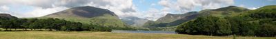
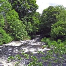
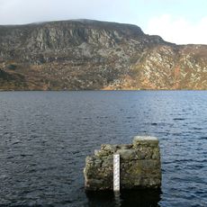
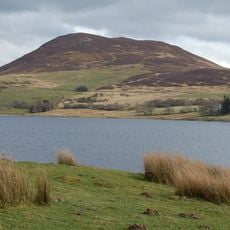
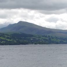
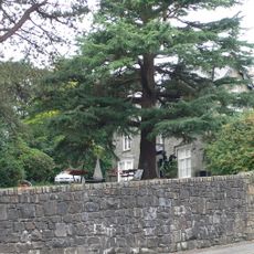
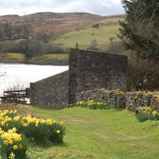
North Wales is a geographic region in the northern part of Wales, United Kingdom, extending from the Irish Sea coast to the border with England. The area includes uplands, valleys, wooded sections, and a jagged coastline with sandy beaches and cliffs.
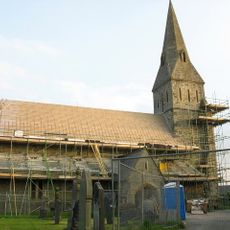
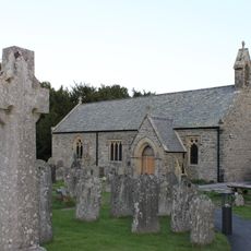
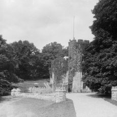
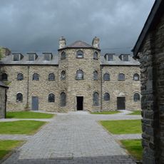
The region formed the heartland of the medieval Welsh principality of Gwynedd, which preserved its independence until conquest in the late 13th century. After incorporation into England, King Edward I built a chain of fortresses to secure military control over the territory.
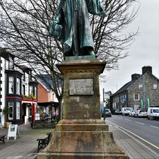
The landscape carries bilingual road signs and markers everywhere, with the Welsh spelling often appearing first. In many towns and villages, you hear people switching between both languages routinely on the streets or in shops, showing the everyday presence of Celtic tradition.
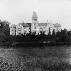
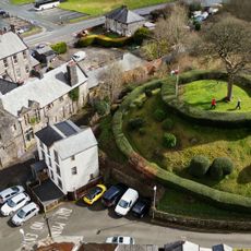
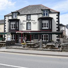
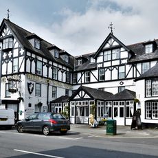
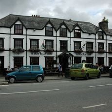
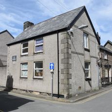
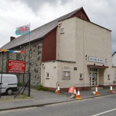
Travelers find visitor centers, walking trails, and small towns with accommodations along the coastal route and in the mountain areas. The main road artery connects all major towns and provides access to more remote valleys and mountain passes inland.
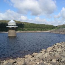
Within its boundaries lie three UNESCO World Heritage Sites, including an iron aqueduct and a group of medieval fortresses. The range of sites encompasses both industrial structures and military installations from different eras.
The community of curious travelers
AroundUs brings together thousands of curated places, local tips, and hidden gems, enriched daily by 60,000 contributors worldwide.