Enable Location

We need your location to show you interesting places around you

Discover nearby places

Find interesting locations and hidden gems around you

Precise directions

Get accurate directions and distances to places

Your location is never shared with other users. It's only used when you tap the location button.

Mynydd Nodol

Log in to your account

Start exploring — it's free

Trusted by 62,195 travelers worldwide

Continue with Google
Continue with Apple
or

We will send you a code to connect

By continuing, you accept our Terms and Conditions and our Privacy Policy

Check your inbox

We've sent a pincode in your inbox. Please enter the code below.

Mynydd Nodol

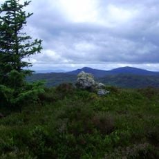
Mynydd Nodol, Mountain summit in Gwynedd, United Kingdom.

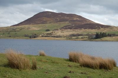
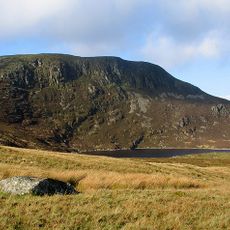
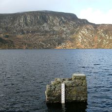
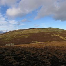
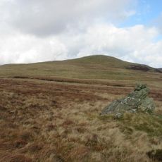
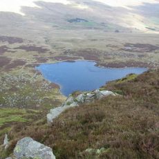
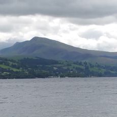
Mynydd Nodol is a hill summit in Gwynedd that rises to 539 meters and features a broad shoulder sloping toward the east. From this vantage point, the Llyn Celyn reservoir lies below, creating a water-filled valley between the surrounding peaks.

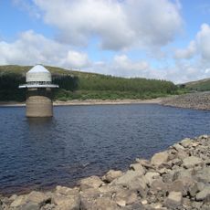
The mountain stands near the Tryweryn Valley, where a reservoir was built in 1965 that submerged the local village of Capel Celyn. This event left a lasting mark on the history of Welsh mountain communities.

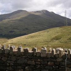
The peak sits within a region where Welsh language and customs form part of daily life among residents. The surrounding mountain landscape continues to shape how communities here connect with their environment.

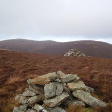
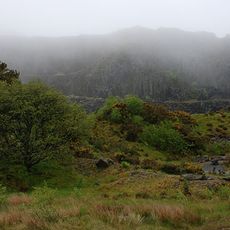
The climb typically starts from the car park at the A4212 near the dam and leads through woodland toward the summit. The route is reasonably accessible, though sturdy footwear and weather protection are advisable.

The peak holds a notable classification among Welsh mountains based on its topographic characteristics and elevation prominence. This ranking system recognizes certain peaks that stand out from their surrounding terrain in specific ways.

The community of curious travelers

AroundUs brings together thousands of curated places, local tips, and hidden gems, enriched daily by 60,000 contributors worldwide.

Start exploring
Location
Elevation above the sea
539 m
GPS coordinates
52.93910,-3.69030
Latest update
December 14, 2025 20:29
« Mynydd Nodol - Mountain summit in Gwynedd, United Kingdom » is provided by Around Us (aroundus.com). Images and texts are derived from Wikimedia project under a Creative Commons license. You are allowed to copy, distribute, and modify copies of this page, under the conditions set by the license, as long as this note is clearly visible.

Discover hidden gems everywhere you go!

From secret cafés to breathtaking viewpoints, skip the crowded tourist spots and find places that match your style. Our app makes it easy with voice search, smart filtering, route optimization, and insider tips from travelers worldwide. Download now for the complete mobile experience.

Around Us App Screenshot

A unique approach to discovering new places

Le Figaro

All the places worth exploring

France Info

A tailor-made excursion in just a few clicks

20 Minutes

Around Us
Travel Guide & Maps
Download

Send to your phone

QR Code
1

Open the camera app on your mobile.

2

Point at the QR code with your camera. A notification will appear.

3

Tap the notification to open the link.