Enable Location

We need your location to show you interesting places around you

Discover nearby places

Find interesting locations and hidden gems around you

Precise directions

Get accurate directions and distances to places

Your location is never shared with other users. It's only used when you tap the location button.

Arenig Fach

Log in to your account

Start exploring — it's free

Trusted by 62,196 travelers worldwide

Continue with Google
Continue with Apple
or

We will send you a code to connect

By continuing, you accept our Terms and Conditions and our Privacy Policy

Check your inbox

We've sent a pincode in your inbox. Please enter the code below.

Arenig Fach

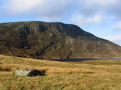
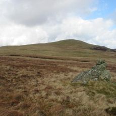
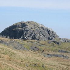
Arenig Fach, Mountain summit in Gwynedd, United Kingdom

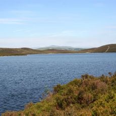
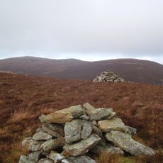
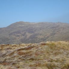
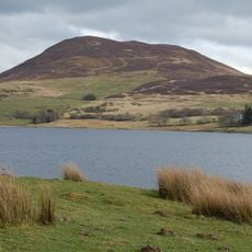
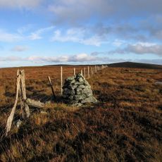
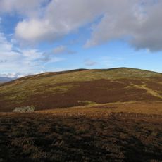
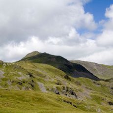
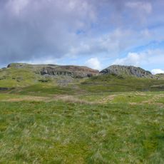
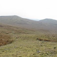
Arenig Fach is a mountain summit in Gwynedd rising to 689 meters with a distinctive survey marker at its peak. The slopes are steep and various routes lead to the top of this Welsh mountain.

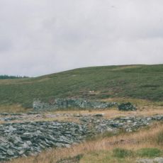
This mountain was systematically recorded and cataloged by climbers beginning in the early 20th century. That documentation became part of the established tradition of Welsh hill surveying.

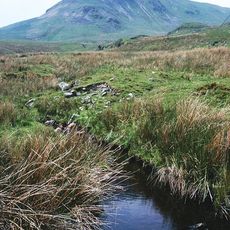
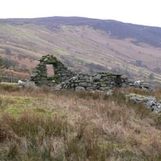
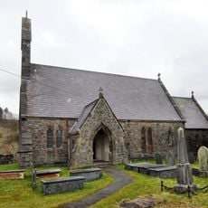
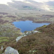
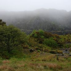
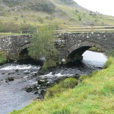
Welsh language and local customs shape life in the surrounding area, where farming communities continue traditional practices on the mountainsides. These ways of living remain visible in how the landscape is used and maintained today.

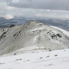
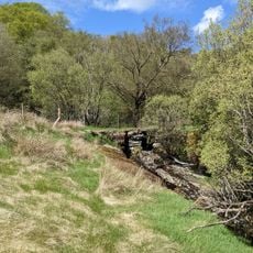
Walkers can access the summit through marked trails that start from various points in the surrounding area. The ascent requires sturdy footwear and should be planned during stable weather conditions.

This peak holds a special position in climbing classification systems, marking the endpoint of a complete hill-bagging sequence. That distinction makes it noteworthy for those who track summit collections.

The community of curious travelers

AroundUs brings together thousands of curated places, local tips, and hidden gems, enriched daily by 60,000 contributors worldwide.

Start exploring
Location
Elevation above the sea
689 m
GPS coordinates
52.95873,-3.75768
Latest update
December 14, 2025 17:02
« Arenig Fach - Mountain summit in Gwynedd, United Kingdom » is provided by Around Us (aroundus.com). Images and texts are derived from Wikimedia project under a Creative Commons license. You are allowed to copy, distribute, and modify copies of this page, under the conditions set by the license, as long as this note is clearly visible.

Discover hidden gems everywhere you go!

From secret cafés to breathtaking viewpoints, skip the crowded tourist spots and find places that match your style. Our app makes it easy with voice search, smart filtering, route optimization, and insider tips from travelers worldwide. Download now for the complete mobile experience.

Around Us App Screenshot

A unique approach to discovering new places

Le Figaro

All the places worth exploring

France Info

A tailor-made excursion in just a few clicks

20 Minutes

Around Us
Travel Guide & Maps
Download

Send to your phone

QR Code
1

Open the camera app on your mobile.

2

Point at the QR code with your camera. A notification will appear.

3

Tap the notification to open the link.