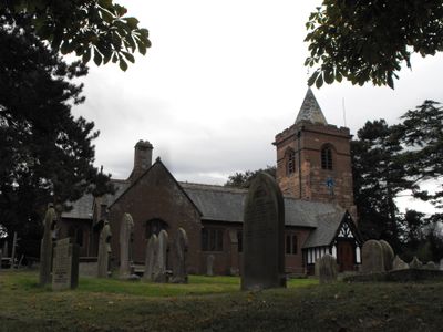
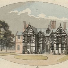
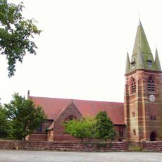
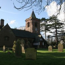
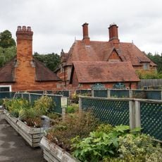
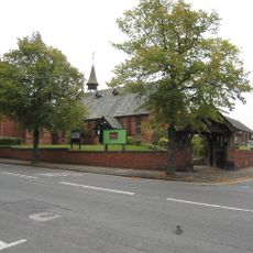
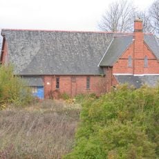
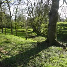
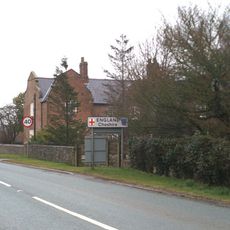
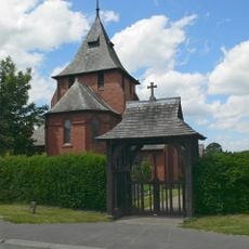
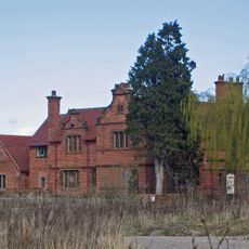
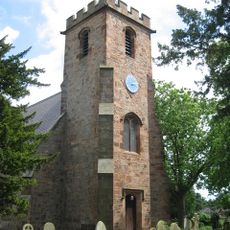
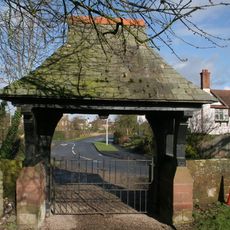
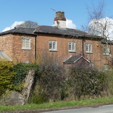
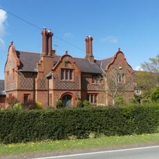
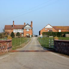
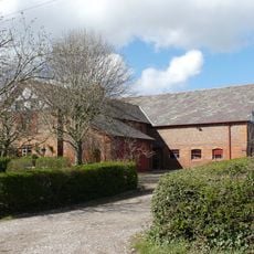
Dodleston, village and civil parish in Cheshire West and Chester, UK
Location: Cheshire West and Chester
Shares border with: 
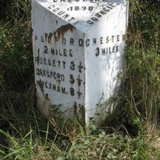
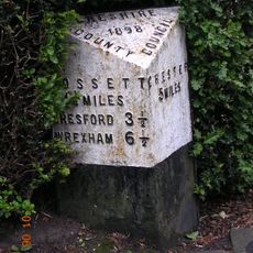
Broughton and Bretton Community Council, Saltney, Chester, Eaton and Eccleston, Poulton and Pulford, Rossett, Higher Kinnerton Community Council
GPS coordinates: 53.14160,-2.95540
Latest update: March 4, 2025 14:56
Broughton Hall
3.7 km
Pulford Castle
2.6 km
St Mary's Church, Pulford
2.5 km
St Mary's Church, Dodleston
0 m
Belgrave Lodge
2.5 km
St Mark's Church, Saltney
5 km
St Matthew's Church, Saltney
4.4 km
Dodleston Castle
86 m
Lower Kinnerton Hall
2.4 km
All Saints Church, Higher Kinnerton
3.3 km
Wrexham Road Farm, Eccleston
4.2 km
St Mary's Church
3.6 km
Church of Christ
5 km
Red Lion Inn
175 m
Pulford War Memorial
2.5 km
Lychgate canopy and wing walls, St Mary's Churchyard
40 m
Old School House
1.8 km
Dovecote at Dodleston Hall
606 m
Lodge and forecourt wall north of former Pulford Approach to Eaton Park
2.5 km
Gell Farm Farmhouse
2 km
Dodleston Hall
582 m
Broadhey Farm Farmhouse
2.2 km
Farm buildings at Meadow House Farm
945 m
Former central farm building associated with Moor End Farm
1.5 km
Dodleston Lane Farmhouse
797 m
Broadhey Farm Buildings
2.2 km
Milepost, SE of Belgrave Bridge, A483 roundabout
2.8 km
Milepost, Main Street, 20m N of jct with Old Lane
2.4 kmReviews
Visited this place? Tap the stars to rate it and share your experience / photos with the community! Try now! You can cancel it anytime.
Discover hidden gems everywhere you go!
From secret cafés to breathtaking viewpoints, skip the crowded tourist spots and find places that match your style. Our app makes it easy with voice search, smart filtering, route optimization, and insider tips from travelers worldwide. Download now for the complete mobile experience.
A unique approach to discovering new places❞
— Le Figaro
All the places worth exploring❞
— France Info
A tailor-made excursion in just a few clicks❞
— 20 Minutes