
Brenzett, village and civil parish in Kent, UK
Location: Folkestone and Hythe District
GPS coordinates: 51.00974,0.85380
Latest update: March 5, 2025 07:43
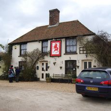
Red Lion, Snargate
1.8 km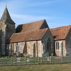
Church of St Clement, Old Romney
3.8 km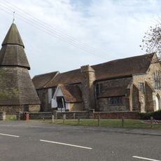
St Augustine's Church, Brookland
2 km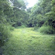
Ham Street Woods
7.1 km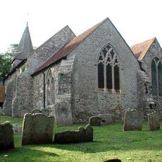
St Eanswith's Church, Brenzett
535 m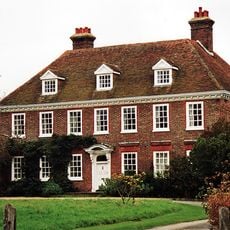
Leacon Hall
6.1 km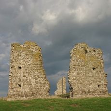
Hope All Saints', remains of church
4.9 km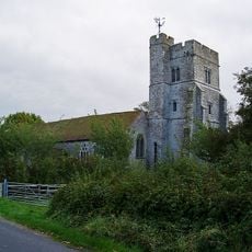
Church of St Peter and St Paul
6.5 km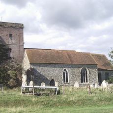
Church of St Matthew
5.4 km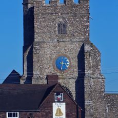
Church of St George
2.5 km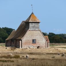
Church of St Thomas A Becket and mounting block attached
3.7 km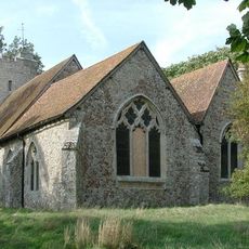
Church of St Augustine
2.9 km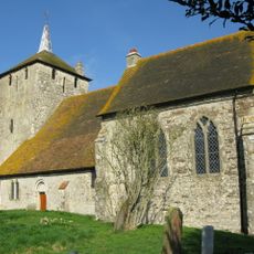
Church of St Mary Magdalene
6.7 km
Church of St Peter and St Paul
5 km
Church of St Mary
5.6 km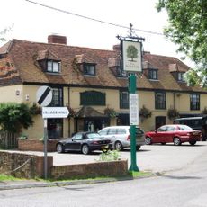
The Royal Oak Inn
2 km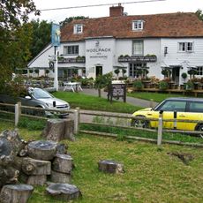
The Woolpack Inn
5.5 km
Church of St Dunstan
1.9 km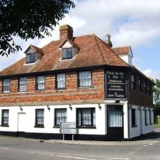
The Fleur De Lys Public House The Fleur-De-Lys-Public House
46 m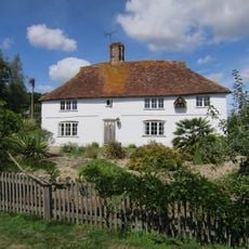
Smith's Farmhouse
5.5 km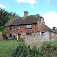
Brattle House
2 km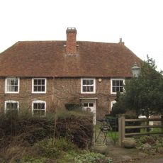
The Manor House
3.7 km
Detached Belfry about 1 yard north of Church of St Augustine
2 km
Blue House Farmhouse
849 m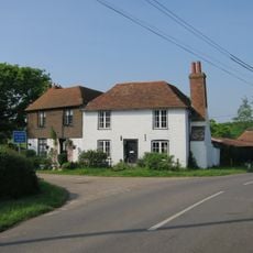
Sly Corner
6.1 km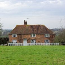
Mill House
6.1 km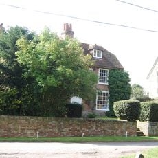
Church Farmhouse
5.4 km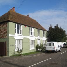
Brookland House
1.9 kmVisited this place? Tap the stars to rate it and share your experience / photos with the community! Try now! You can cancel it anytime.
Discover hidden gems everywhere you go!
From secret cafés to breathtaking viewpoints, skip the crowded tourist spots and find places that match your style. Our app makes it easy with voice search, smart filtering, route optimization, and insider tips from travelers worldwide. Download now for the complete mobile experience.

A unique approach to discovering new places❞
— Le Figaro
All the places worth exploring❞
— France Info
A tailor-made excursion in just a few clicks❞
— 20 Minutes