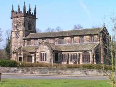
Wilmslow, Civil parish in Cheshire East, England
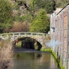
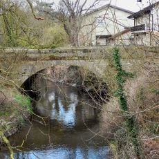
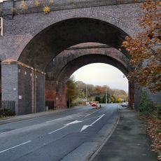
Wilmslow is a settlement in Cheshire East, England, that developed along the old road between Manchester and London. The Bollin flows through the town, dividing it into two areas connected by stone bridges.
The settlement was first recorded in the Domesday Book of 1086 as a place at a Roman road crossing. In the 19th century, the railway transformed it into a suburb for wealthy Manchester merchants.
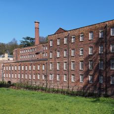
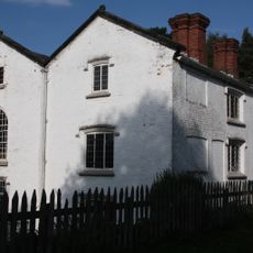
Houses along Grove Street and Water Lane show sandstone facades and Victorian brickwork that reflect the prosperity of the early commuter community. Today visitors find boutiques and cafés in former residential buildings that preserve the character of these historic streets.
The town center lies about 15 minutes on foot from the railway station and can be reached via paved paths that follow the river. Shops and restaurants concentrate around Grove Street, which is busier on weekdays than at weekends.
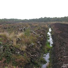
In the 1980s, workers at Lindow Moss peat bog discovered an exceptionally well-preserved prehistoric body now displayed in a museum. The acidic environment of the bog conserved skin, hair and internal organs across two millennia.
Location: Cheshire East
Shares border with: Handforth, Chorley, Mobberley, Mottram St Andrew, Alderley Edge
GPS coordinates: 53.32500,-2.23900
Latest update: December 4, 2025 23:40
Quarry Bank Mill
2.2 km
Lindow Moss
2 km
Lindow Common
772 m
St Bartholomew's Church, Wilmslow
844 m
Handforth Hall
3.2 km
Dean Row Chapel, Wilmslow
3 km
Pownall Hall
1.1 km
Hawthorn Hall
366 m
Fulshaw Hall
871 m
Norcliffe Chapel
2.6 km
Saltersley Hall
2.3 km
Ship Inn, Styal
2.6 km
Quarry Bank House
2.3 km
The Packhorse Bridge
2.2 km
Lease Farm Cottage
2.6 km
Oversleyford Bridge At Ngr 81628294
3.3 km
Chapel Bridge, Styal
2.6 km
Mill Cottage
2.2 km
The Apprentices House The Apprentices House Cottage
2.4 km
Styal War Memorial
2.5 km
Cross Farmhouse
2.4 km
Eastern Railway Viaduct over the River Bollin
1 km
Friends Meeting House
264 m
Walls to Quaker Graveyard
3.3 km
Barn At Barlow House Farm To East Of Farmhouse
2.4 km
1, 2, 3, 4, 5, 6/7, Shaws Fold
2.4 km
1-7, Holt's Lane
2.5 km
Lych gate to Church of St. Bartholomew
818 mVisited this place? Tap the stars to rate it and share your experience / photos with the community! Try now! You can cancel it anytime.
Discover hidden gems everywhere you go!
From secret cafés to breathtaking viewpoints, skip the crowded tourist spots and find places that match your style. Our app makes it easy with voice search, smart filtering, route optimization, and insider tips from travelers worldwide. Download now for the complete mobile experience.
A unique approach to discovering new places❞
— Le Figaro
All the places worth exploring❞
— France Info
A tailor-made excursion in just a few clicks❞
— 20 Minutes