Priddy Circles, Prehistoric earthwork circles in Mendip Hills, England
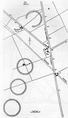
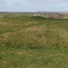
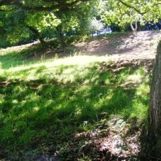
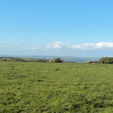
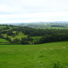
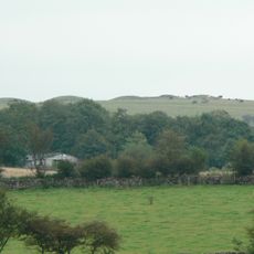
Priddy Circles are four circular earthwork enclosures arranged in a line across the Mendip Hills in Somerset. Each one is defined by an outer ditch, and the low banks that remain are still visible across the open hilltop landscape.
The circles were built around 2500 BCE, near the end of the Neolithic period and the start of the Bronze Age. Their construction involved moving large amounts of earth, which points to a well-organized community in the area at the time.
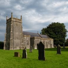
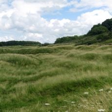
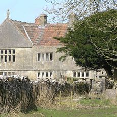
The name Priddy comes from the nearby village that has been settled for thousands of years, and the site still sits within a living, farmed landscape. Walking across the hills, visitors can trace the outlines of the banks from a distance and get a sense of how this spot once drew people from across the region.
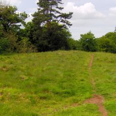
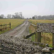
Three of the four circles lie on private farmland near the B3135 road, while the fourth sits closer to the B3134 toward Burrington Combe. Several footpaths run through the surrounding area, giving good views of the site without the need to cross private land.
The four circles are aligned so precisely in a straight line that this pattern is almost never seen in other prehistoric monuments of the same type in Britain. This kind of layout across such a long stretch of open ground would have required careful planning long before the first bank was raised.
The community of curious travelers
AroundUs brings together thousands of curated places, local tips, and hidden gems, enriched daily by 60,000 contributors worldwide.