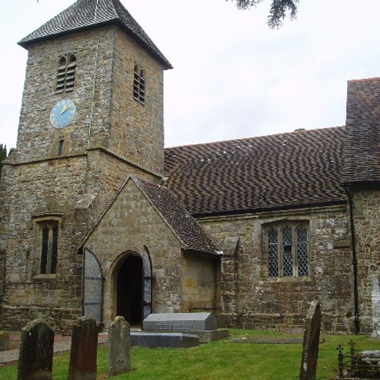
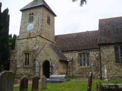
Wivelsfield, village and civil parish in East Sussex, United Kingdom
The community of curious travelers
AroundUs brings together thousands of curated places, local tips, and hidden gems, enriched daily by 60,000 contributors worldwide.
World's End, West Sussex
2.1 km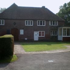
Bethel Strict Baptist Chapel, Wivelsfield
891 m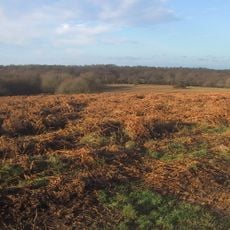
Ditchling Common
2.4 km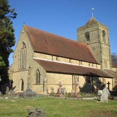
St Wilfrid's Church, Haywards Heath
3.4 km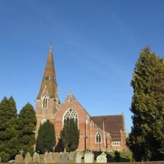
St John the Evangelist's Church, Burgess Hill
3.3 km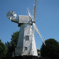
Heritage Mill
4.6 km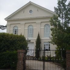
Providence Strict Baptist Chapel, Burgess Hill
3.4 km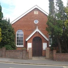
Jireh Chapel
2.7 km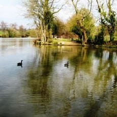
Bedelands Farm Nature Reserve
2.3 km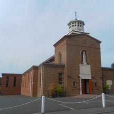
St Wilfrid's Church, Burgess Hill
3.6 km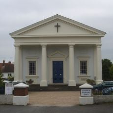
All Saints United Reformed Church
3 km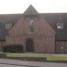
St Richard's Church, Haywards Heath
4.1 km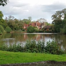
Chailey Moat
4.8 km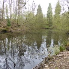
Ashenground and Bolnore Woods
2.9 km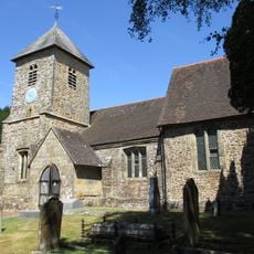
The Parish Church of St Peter and St John the Baptist
377 m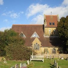
Church of Our Lady, Queen of Heaven
4.8 km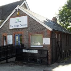
King's Church Uckfield
572 m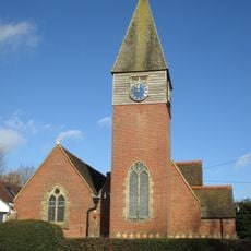
Church of St Augustine of Canterbury
3.7 km
Ote Hall Chapel
250 m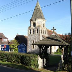
All Saints
4.4 km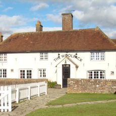
The Woolpack Public House
4.1 km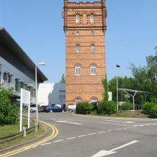
Water Tower Of St Francis' Hospital
2.4 km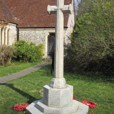
Plumpton Green War Memorial
4.4 km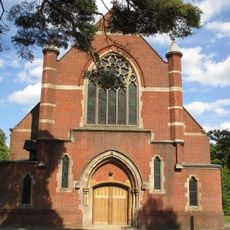
St Andrew's Church
2.4 km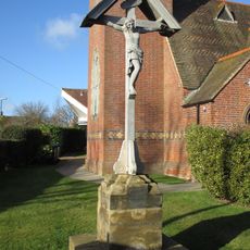
Scaynes Hill WWI Memorial
3.7 km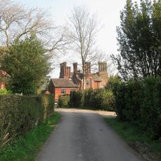
Great Ote Hall
1.2 km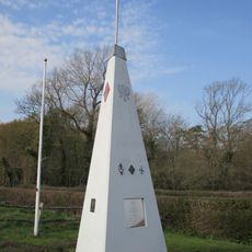
RAF Chailey WWII Memorial
3.4 km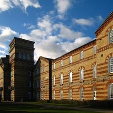
Main Block Of St Francis' Hospital
2.2 kmDiscover hidden gems everywhere you go!
From secret cafés to breathtaking viewpoints, skip the crowded tourist spots and find places that match your style. Our app makes it easy with voice search, smart filtering, route optimization, and insider tips from travelers worldwide. Download now for the complete mobile experience.

A unique approach to discovering new places❞
— Le Figaro
All the places worth exploring❞
— France Info
A tailor-made excursion in just a few clicks❞
— 20 Minutes
