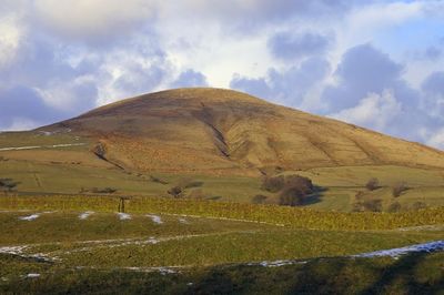
Parlick, Mountain summit in Lancashire, England
Parlick is a mountain in Lancashire with steep, cone-shaped sides and green slopes that make it stand out from the surrounding landscape. A narrow ridge path connects the summit to Fair Snape Fell, offering walkers a range of routes to suit different abilities and preferences.
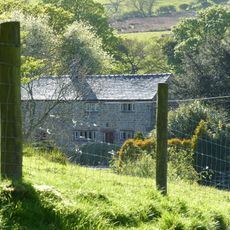
The name comes from Old English and suggests the presence of a sheep fold near a pear tree in the area. This naming reflects how the land was historically used for grazing livestock and farming activities.
The mountain features in local stories through tales of a giant cow that supposedly drank from a well at the top. These folklore narratives remain part of the region's character and are passed down by residents and visitors alike.
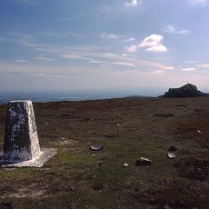
Multiple paths lead to the summit, including trails that zigzag from the south as well as more direct routes for experienced hikers. Visitors should wear sturdy footwear and bring weather protection, as conditions at the top can change quickly.
The mountain is a popular launch site for paragliders, where wind conditions along the ridge provide consistent updrafts for flights. Pilots regularly take advantage of these conditions to fly long distances along the surrounding ridgeline.
The community of curious travelers
AroundUs brings together thousands of curated places, local tips, and hidden gems, enriched daily by 60,000 contributors worldwide.