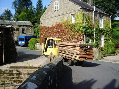
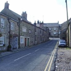
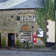
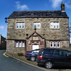
Kirk Mill, Cotton mill in Chipping, Lancashire, England.
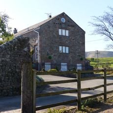
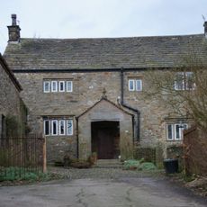
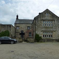
Kirk Mill is a Grade II listed cotton mill building located on the banks of Chipping Brook in Lancashire. The structure features a large water wheel that once powered the spinning machinery and operated as part of the region's textile industry.
The building served as a grain mill from 1544 before being converted into a cotton spinning factory during the 1780s industrial expansion in Lancashire. This transformation made it part of the early mechanized textile production that reshaped the regional economy.
The mill represents early industrial innovation in Lancashire, functioning as one of the first Arkwright-type cotton mills that shaped regional manufacturing methods.
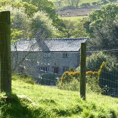
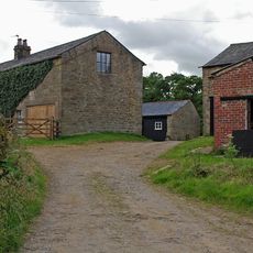
The mill building underwent major restoration work including roof replacement and structural reinforcement to ensure its preservation. Visitors should be aware that the site sits beside a stream where surfaces can be slippery during wet weather.
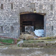
The water wheel served not only the spinning machinery but later generated electricity for homes in the surrounding area. This role as a power source extended its importance well into the 1940s, long after cotton production had stopped at the site.
The community of curious travelers
AroundUs brings together thousands of curated places, local tips, and hidden gems, enriched daily by 60,000 contributors worldwide.