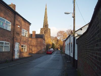
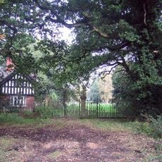
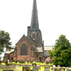
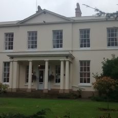
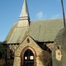
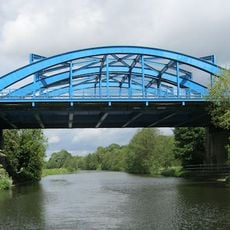
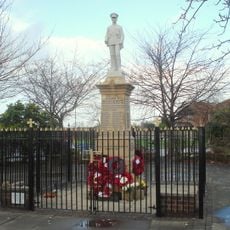
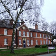
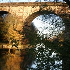
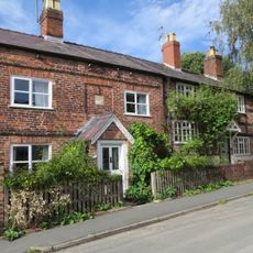
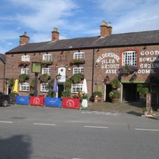
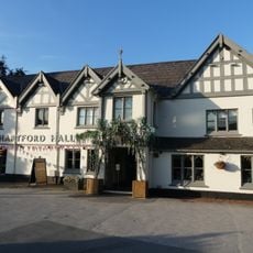
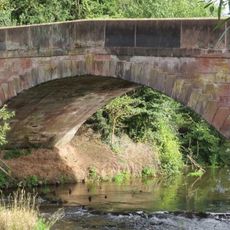
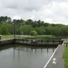
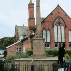
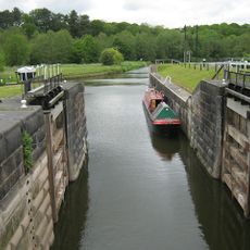
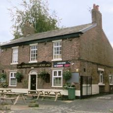
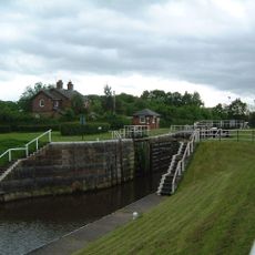
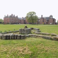
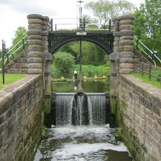
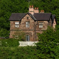
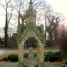
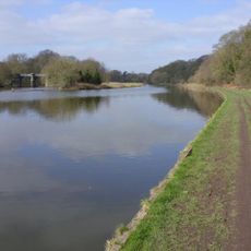
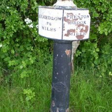
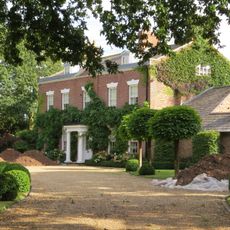
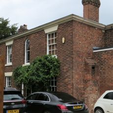
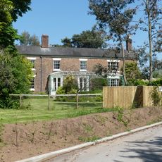
Davenham, village and civil parish in Cheshire West and Chester, UK
Location: Cheshire West and Chester
Shares border with: Hartford, Lach Dennis, Byley, Bostock, Rudheath, Moulton, Whitegate and Marton, Kingsmead, Northwich
GPS coordinates: 53.23582,-2.51113
Latest update: March 8, 2025 06:54
Bostock Hall
3.3 km
St Wilfrid's Church, Davenham
375 m
Davenham Hall
477 m
St Stephen's Church, Moulton
1.5 km
Hartford Bridge, Cheshire
1.3 km
Moulton War Memorial
1.5 km
Weaver Hall Museum and Workhouse
2 km
Vale Royal Railway Viaduct
1.8 km
61,63 and 65, Church Street
295 m
Bull's Head Inn
38 m
Hartford Hall Hotel
1.8 km
Shipbrook Bridge
1.1 km
Lock, lock gates and swing-bridge, forming Large Lock, Vale Royal
2.1 km
Davenham War Memorial
51 m
Small Lock, lock gates and swing bridge, Vale Royal Locks
2.1 km
Oddfellows Arms Public House
26 m
Hunt's Locks
1.9 km
The Nun's Grave Cross
2.4 km
Sluice, Channel And Sluice A Swing-Bridges At Vale Royal Locks
2.1 km
Lock keeper's cottage at Vale Royal Locks
2 km
Fountain
381 m
Flood gates and sluice bridge
2.1 km
Trent And Mersey Canal Milepost At Sj 6805 6928
2.8 km
The Old Rectory
417 m
1, Green Lane
131 m
Front wall and steps to Whitehall
2 km
The Hollies
1.9 km
Milepost, Bostock Road
3.4 kmReviews
Visited this place? Tap the stars to rate it and share your experience / photos with the community! Try now! You can cancel it anytime.
Discover hidden gems everywhere you go!
From secret cafés to breathtaking viewpoints, skip the crowded tourist spots and find places that match your style. Our app makes it easy with voice search, smart filtering, route optimization, and insider tips from travelers worldwide. Download now for the complete mobile experience.
A unique approach to discovering new places❞
— Le Figaro
All the places worth exploring❞
— France Info
A tailor-made excursion in just a few clicks❞
— 20 Minutes