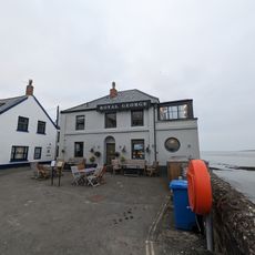
Braunton Burrows, Sand dune nature reserve in Braunton, England
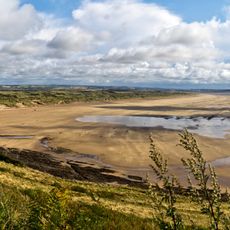
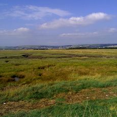
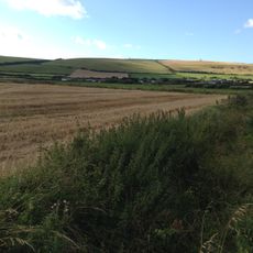
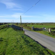
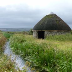
Braunton Burrows is a large sand dune system on the North Devon coast in England, covering a mix of open sandy ground, wetlands, and grassy areas. The dunes shift with the wind over time, so the landscape looks different from one visit to the next.
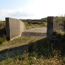
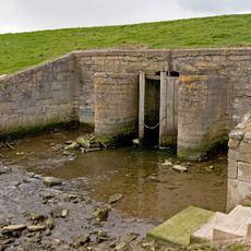
During World War II, American troops trained here to prepare for the landings in Normandy, using the dunes to practice amphibious operations. After the war, the site was gradually opened to the public and later gained protected status.
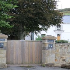
Braunton Burrows is part of a UNESCO Biosphere Reserve, which means it is recognized internationally as a place worth protecting for its natural variety. Walkers often notice information boards along the paths that explain the rare plants and insects living among the dunes.
The site is best explored on foot, as the terrain shifts between soft sand, wet ground, and firmer grassy paths depending on the season. Sturdy footwear is a good idea, especially after rain when some areas can become muddy or uneven.
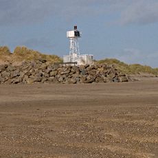
Chunks of concrete left behind from wartime landing craft exercises sit scattered through the dunes, and many visitors mistake them for natural rocks at first glance. Looking closely, you can see the angular shapes and metal reinforcements that give away their origin.
The community of curious travelers
AroundUs brings together thousands of curated places, local tips, and hidden gems, enriched daily by 60,000 contributors worldwide.