Enable Location

We need your location to show you interesting places around you

Discover nearby places

Find interesting locations and hidden gems around you

Precise directions

Get accurate directions and distances to places

Your location is never shared with other users. It's only used when you tap the location button.

Braunton

Log in to your account

Start exploring — it's free

Trusted by 63,494 travelers worldwide

Continue with Google
Continue with Apple
or

We will send you a code to connect

By continuing, you accept our Terms and Conditions and our Privacy Policy

Check your inbox

We've sent a pincode in your inbox. Please enter the code below.

Discussion Reviews 1 Photos
16.7k Popularity

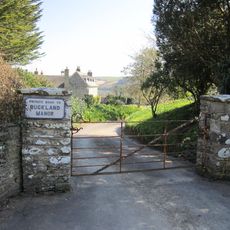
Braunton, village and civil parish in Devon, UK

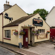
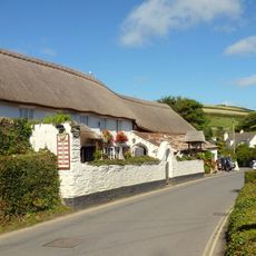
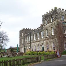
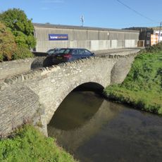
Braunton is a village in North Devon, England, situated in a valley between three hills and just a couple of miles from the sea. The village has quiet streets lined with old buildings, crossed by the Caen Stream and connected by the A361 road to nearby coastal towns.

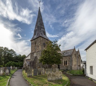
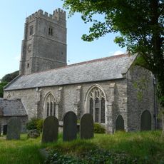
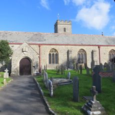
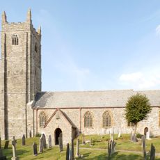
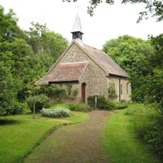
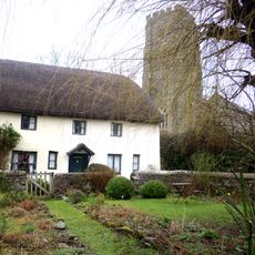
The village was founded around 855 and listed in the Domesday Book in 1086 as Brantone with about one hundred households at that time. The name Braunton comes from Saint Brannock from South Wales, who settled here around 550 AD and built the first Christian church in North Devon.

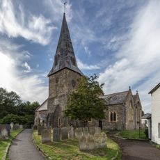
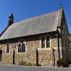
The name Braunton comes from St. Brannock, a Welsh preacher from the 6th century who brought Christianity to the area and founded a church here. St. Brannock's Church with its detailed carvings from the 15th century remains central to village life and shows how deeply locals connect to their religious heritage.

The village is easily reached via the A361 road and offers shops, cafes, restaurants, and a medical centre for both visitors and residents. From the old railway station building, the Tarka Trail provides a popular walking and cycling route through the coastal landscape and countryside of North Devon.

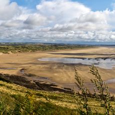
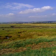
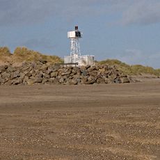
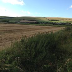
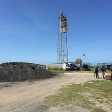
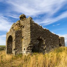
The Great Field is one of only three fields in England that still shows the old medieval strip system with nearly five hundred individual plots where farmers work today just as their ancestors did. During World War Two, the Braunton Marshes served as a fake airfield to confuse enemies about the real airfield's location, and American soldiers left monuments to their presence that remain visible today.

The community of curious travelers

AroundUs brings together thousands of curated places, local tips, and hidden gems, enriched daily by 60,000 contributors worldwide.

Start exploring
Location
GPS coordinates
51.11000,-4.16200
Latest update
February 17, 2026 01:40
Reviews
Share your experience

No review yet

Discussions
Start a discussion...

No discussion yet

« Braunton - village and civil parish in Devon, UK » is provided by Around Us (aroundus.com). Images and texts are derived from Wikimedia project under a Creative Commons license. You are allowed to copy, distribute, and modify copies of this page, under the conditions set by the license, as long as this note is clearly visible.

Discover hidden gems everywhere you go!

From secret cafés to breathtaking viewpoints, skip the crowded tourist spots and find places that match your style. Our app makes it easy with voice search, smart filtering, route optimization, and insider tips from travelers worldwide. Download now for the complete mobile experience.

Around Us App Screenshot

A unique approach to discovering new places

Le Figaro

All the places worth exploring

France Info

A tailor-made excursion in just a few clicks

20 Minutes

Around Us
Travel Guide & Maps
Download

Send to your phone

QR Code
1

Open the camera app on your mobile.

2

Point at the QR code with your camera. A notification will appear.

3

Tap the notification to open the link.