Moss Side, Residential district in Manchester, England
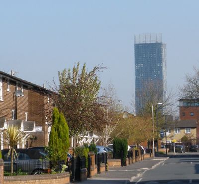
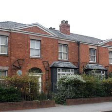
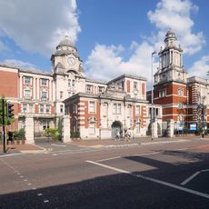
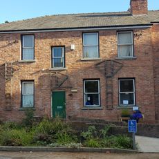
Moss Side is a residential district south of Manchester city center with two-story red brick terraced houses alongside newer housing blocks. Main roads like Princess Road and Great Western Street run through the area, connecting shops, parks and housing estates.
The area developed during the 19th century from a rural settlement into a densely populated working-class district as Manchester expanded industrially. After World War II, many immigrants from the Caribbean moved here to work in local factories and service industries.
The area hosts the Caribbean Carnival each August, filling streets with costumes, steel band music and Caribbean food. Alexandra Park Community Hall serves as a meeting point for local events and social gatherings among different communities.
Several bus routes run through the district during the day, connecting it to the city center in about 15 minutes. The nearest tram stop at Deansgate-Castlefield lies within walking distance to the west for further connections.
The former stadium site on Maine Road was demolished in 2004 and replaced by a housing development now called Moss Side Gate. Some street names in the new estate reference the football history of the site with nods to the former ground.
Location: Manchester
Shares border with: Fallowfield
GPS coordinates: 53.45600,-2.24000
Latest update: December 13, 2025 19:10
Manchester Academy
1 km
Church of the Holy Name of Jesus, Manchester
1.1 km
Contact Theatre
950 m
Pankhurst Centre
1.1 km
Hulme Hippodrome
1.1 km
Alexandra Park, Manchester
789 m
Holy Trinity Platt Church
1.2 km
Stopford Building
1.1 km
Church of St Mary, Hulme
969 m
Whitworth Park
731 m
Playhouse Theatre
1.1 km
Grove House, Manchester
956 m
Stephen Joseph Studio
935 m
Christ Church, Moss Side, Manchester
436 m
Darul Amaan Mosque
663 m
The Beyer building
1.2 km
Whitworth Art Gallery
848 m
Church of St Edmund
918 m
Victoria University of Manchester including Christie Library, Whitworth Hall
1.2 km
Manchester University Rutherford Building And Hopkinson Memorial Wing
1.2 km
323-7, Oxford Road
1.1 km
Edward VII statue in Whitworth Park to south of Whitworth Gallery
869 m
Platt Hall
1.2 km
Royal Infirmary (Cobbett H, Admin/Drs Res Block, X Ray Teaching Block And Chapel)
987 m
St Bedes College
996 m
Greenhayes Centre
239 m
Old Quadrangle, University of Manchester
1.1 km
60, Nelson Street
1.2 kmVisited this place? Tap the stars to rate it and share your experience / photos with the community! Try now! You can cancel it anytime.
Discover hidden gems everywhere you go!
From secret cafés to breathtaking viewpoints, skip the crowded tourist spots and find places that match your style. Our app makes it easy with voice search, smart filtering, route optimization, and insider tips from travelers worldwide. Download now for the complete mobile experience.
A unique approach to discovering new places❞
— Le Figaro
All the places worth exploring❞
— France Info
A tailor-made excursion in just a few clicks❞
— 20 Minutes