
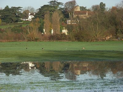
Shiplake, village and civil parish in South Oxfordshire district, Oxfordshire, England
Location: South Oxfordshire
Shares border with: Harpsden, Eye and Dunsden, Binfield Heath with Eye and Dunsden
Website: http://shiplakevillages.com
GPS coordinates: 51.50300,-0.89900
Latest update: March 3, 2025 21:59
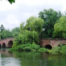
Sonning Bridge
3.2 km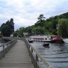
Marsh Lock
2.9 km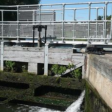
Shiplake Lock
1.1 km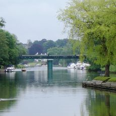
Shiplake Railway Bridge
1.5 km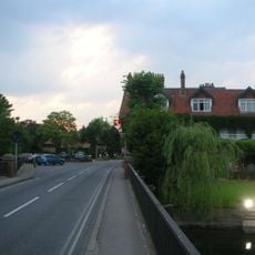
Sonning Backwater Bridges
3.2 km
Conway's Bridge
2.9 km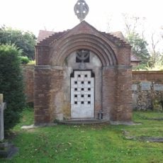
Hannen Columbarium
1.8 km
Phillimore Island
817 m
The Lynch
1.1 km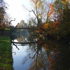
Hennerton Backwater
2.6 km
Mill Meadows
3.2 km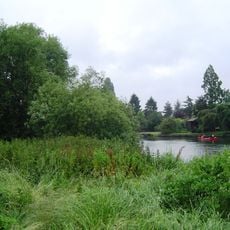
Buck Ait
1.6 km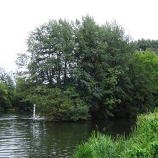
Ferry Eyot
2.4 km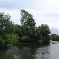
Hallsmead Ait
1.3 km
Handbuck Eyot
1.9 km
Wargrave War Memorial
1.9 km
Church of St Peter and St Paul, Shiplake
599 m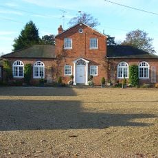
Bellehatch Park House
2.1 km
Roman Catholic Church of the Sacred Heart
3 km
Church of St Margaret
2.1 km
Church of St Mary
1.8 km
The Bottle And Glass Public House
2.2 km
Lower Shiplake War Memorial
1 km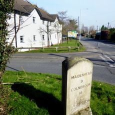
Milestone On Grass Verge,100 Metres East Of Junction With Bath Road
3.2 km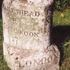
Milestone At Ngr 7850 7605
3.4 km
Shiplake College, Water Tower Approximately 90 Metres North West
560 m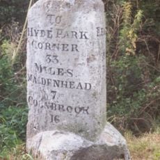
Milestone At Ngr 7960 7712
3.5 km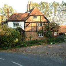
Shiplake Rise Farmhouse
1.2 kmVisited this place? Tap the stars to rate it and share your experience / photos with the community! Try now! You can cancel it anytime.
Discover hidden gems everywhere you go!
From secret cafés to breathtaking viewpoints, skip the crowded tourist spots and find places that match your style. Our app makes it easy with voice search, smart filtering, route optimization, and insider tips from travelers worldwide. Download now for the complete mobile experience.

A unique approach to discovering new places❞
— Le Figaro
All the places worth exploring❞
— France Info
A tailor-made excursion in just a few clicks❞
— 20 Minutes