
Sheen, village and civil parish in Staffordshire, England
Location: Staffordshire Moorlands
Shares border with: Longnor, Hartington Town Quarter, Alstonefield, Fawfieldhead, Heathylee
GPS coordinates: 53.14890,-1.83417
Latest update: March 2, 2025 23:16
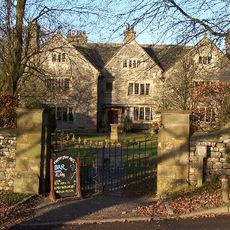
Hartington Hall
2.2 km
Pilsbury Castle
2.5 km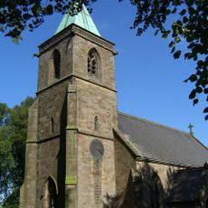
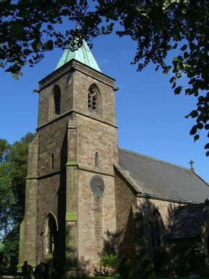
Church of St Luke
226 m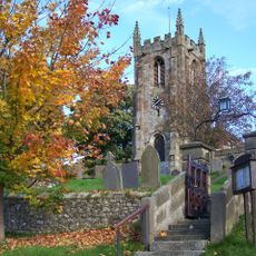
Church of St Giles
2 km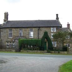
Church of St John (and Attached School House)
2.9 km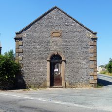
Former Methodist Chapel
2.1 km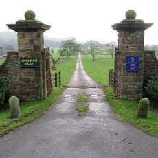
Gatepiers, gates and approaches formerly to Beresford Hall (now demolished) 25 metres south of Raikes Farmhouse
1.8 km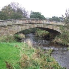
Bridge over River Manifold (that part in Fawfieldhead CP)/Bridge over River Manifold (that part In Sheen CP)
2.1 km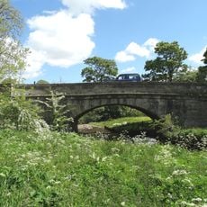
Piggenhole Bridge
3 km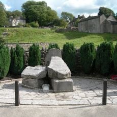
Hartington War Memorial
2 km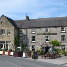
Charles Cotton Hotel
1.8 km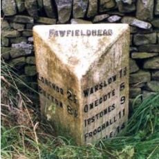
Milepost, N of New Road
2.3 km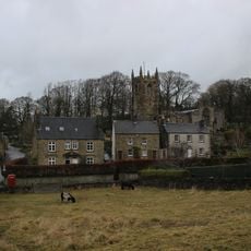
Dale House
2 km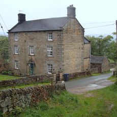
New House Farm and attached gate piers
1 km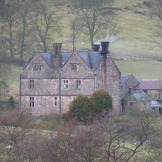
Broadmeadow Hall
2 km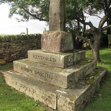
Knowsley Cross
2.8 km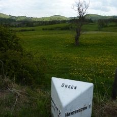
Milepost Hartington 1 Mile
1.8 km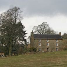
Over Boothlow Farmhouse
2.8 km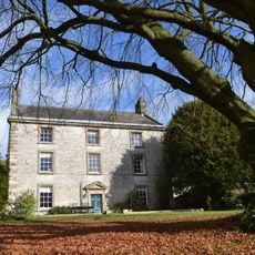
Pilsbury Farmhouse
2.2 km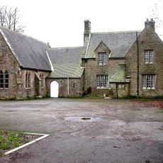
School and attached School House
184 m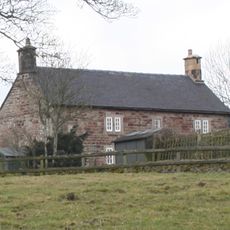
Ridge End Farmhouse
1.9 km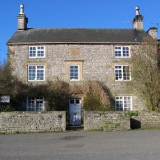
The Old Vicarage and attached garden wall
1.8 km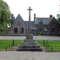
Village cross and corner posts approximately 50 metres west of school
179 m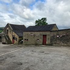
Stable Approximately 10 Metres North Of Low End Farmhouse
1.2 km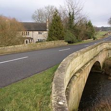
Hartington Bridge
1.7 km
Bowl barrow 170m north of The Low
2.8 km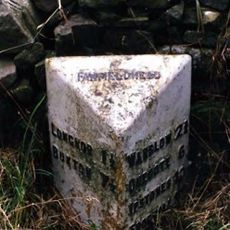
Milepost, Ridge Farm
3.1 km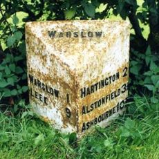
Milepost, W of Hulme End
2.3 kmVisited this place? Tap the stars to rate it and share your experience / photos with the community! Try now! You can cancel it anytime.
Discover hidden gems everywhere you go!
From secret cafés to breathtaking viewpoints, skip the crowded tourist spots and find places that match your style. Our app makes it easy with voice search, smart filtering, route optimization, and insider tips from travelers worldwide. Download now for the complete mobile experience.

A unique approach to discovering new places❞
— Le Figaro
All the places worth exploring❞
— France Info
A tailor-made excursion in just a few clicks❞
— 20 Minutes