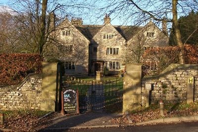
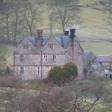
Hartington Hall, Wedding venue and youth hostel in Hartington Town Quarter, England
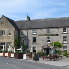
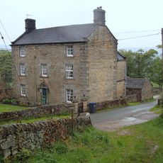
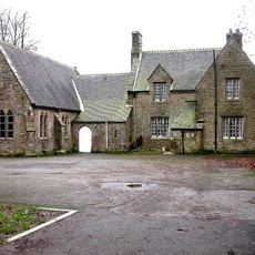
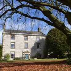
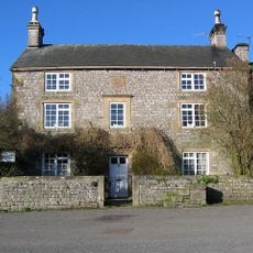
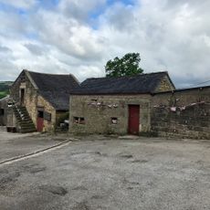
Hartington Hall is a country house hotel and wedding venue in the Derbyshire Dales built from limestone and gritstone with 18th-century architectural character. The building contains accommodation rooms, ceremony spaces, and multiple function areas designed for events and overnight guests.
The structure was built in the 18th century as a private residence and holds Grade II listed status for its architectural importance. Over time it evolved into a multipurpose venue for events and lodging rather than remaining a family home.
The building serves as a gathering space where weddings and celebrations bring people together throughout the year. Visitors experience the traditions of English country hospitality set within a historic setting.
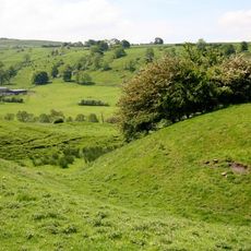
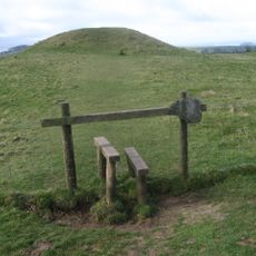
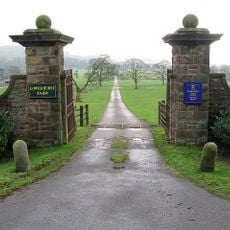
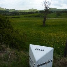
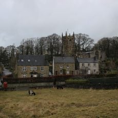
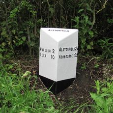
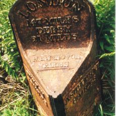
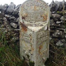
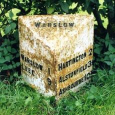
The property is situated in the Peak District region and accessible to visitors seeking accommodation or event spaces. The rural Derbyshire location offers access to walking paths and countryside surroundings.
The building operates simultaneously as a youth hostel and upscale wedding venue, an unusual combination for a historic property. This dual function allows the hall to offer both budget-friendly and premium experiences within the same walls.
The community of curious travelers
AroundUs brings together thousands of curated places, local tips, and hidden gems, enriched daily by 60,000 contributors worldwide.