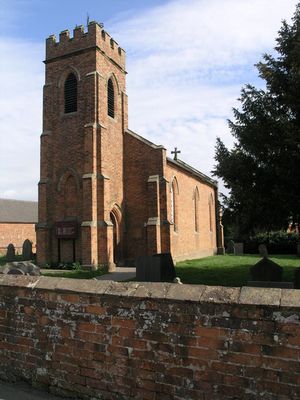
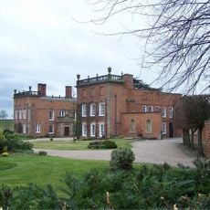
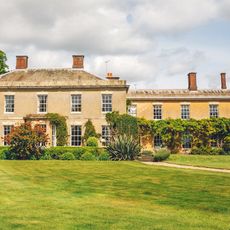
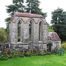
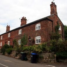
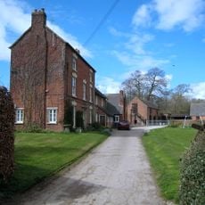
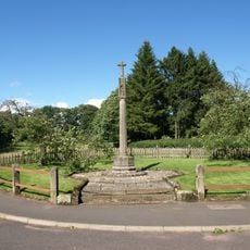
Yeaveley, village and civil parish in Derbyshire Dales district, Derbyshire, England
Location: Derbyshire Dales
Shares border with: Edlaston and Wyaston, Snelston, Cubley, Hungry Bentley, Rodsley
GPS coordinates: 52.96000,-1.72400
Latest update: April 20, 2025 16:16
Longford Hall
3.5 km
Yeldersley Hall, Derbyshire
4.4 km
Yeaveley Preceptory
1.5 km
Church of St Andrew
3.4 km
Church of St Michael
3.5 km
St John the Baptist's Church, Boylestone
4.5 km
St Chad's Church, Longford
3.5 km
Church of St Martin
3.9 km
Church of St Peter
4.3 km
Church of St James
2.4 km
Medieval settlement, including site of chapel and part of the open field system, immediately north east of Alkmonton Old Hall Fa
2.8 km
Holy Trinity Church
35 m
Church of the Holy Trinity
4.9 km
Church of St John
1.8 km
War Memorial South West of Church of St Martin
3.9 km
Saw Mill
3.3 km
Yew Tree Cottage
3.1 km
Park View Cottage
3.6 km
The Saracen's Head Public House
3.4 km
Thatched Cottage
3.4 km
Stable Block And Coach House At Longford Hall Farm
3.4 km
Terrace of three cottages opposite the Saracen's Head pub
3.5 km
Shirley Mill Farmhouse
2.7 km
Snelston War Memorial
4.6 km
Mile Post At Os 212435
4.1 km
Gates And Gatepiers To East Of Longford Hall
3.6 km
Tinker's Inn bowl barrow, south
4 km
Two bowl barrows at Osmaston Fields, north
4.4 kmReviews
Visited this place? Tap the stars to rate it and share your experience / photos with the community! Try now! You can cancel it anytime.
Discover hidden gems everywhere you go!
From secret cafés to breathtaking viewpoints, skip the crowded tourist spots and find places that match your style. Our app makes it easy with voice search, smart filtering, route optimization, and insider tips from travelers worldwide. Download now for the complete mobile experience.
A unique approach to discovering new places❞
— Le Figaro
All the places worth exploring❞
— France Info
A tailor-made excursion in just a few clicks❞
— 20 Minutes