
Burmarsh, village and civil parish in Kent, United Kingdom
Location: Folkestone and Hythe District
GPS coordinates: 51.04877,0.99620
Latest update: March 8, 2025 17:10
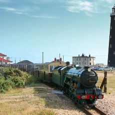
Romney, Hythe and Dymchurch Railway
1.7 km
Port Lympne Wild Animal Park
3.2 km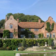
Port Lympne Mansion
2.9 km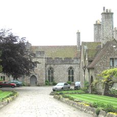
Lympne Castle
3.3 km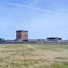
Dymchurch Redoubt
2.8 km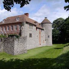
Westenhanger Castle
5.6 km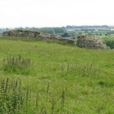
Castra Lemanis
2.8 km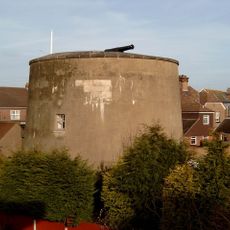
Dymchurch Martello Tower
2.7 km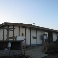
Romney Warren Country Park
6.4 km
Otterpool Quarry
4.5 km
Lympne Escarpment
3.3 km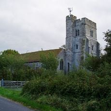
Church of St Peter and St Paul
4.7 km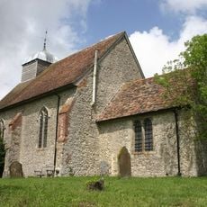
Church of St Rumwold, Bonnington
5 km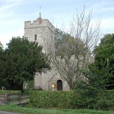
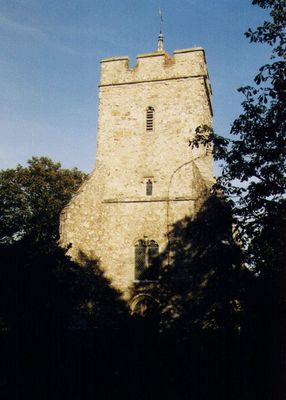
Church of All Saints
51 m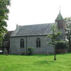
Church of St Peter and St Paul
2.3 km
Church of St Stephen
3.3 km
Church of St Mary the Virgin
5.4 km
Church of St Martin
4.9 km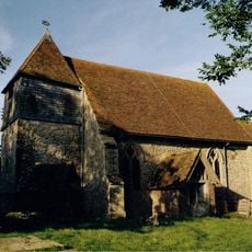
Church of St Peter and St Paul
6.3 km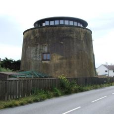
Martello Tower No. 23
1.9 km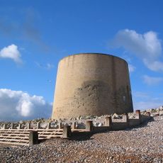
Martello Tower No. 15
5.4 km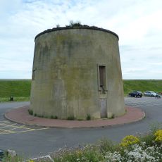
Martello Tower No. 25
3 km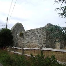
St Mary's Church, West Hythe
3.5 km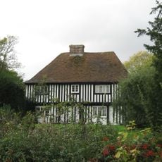
Cobb's Hall
5.5 km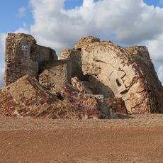
Martello Tower No. 19
3.9 km
Martello Tower No. 14
5.7 km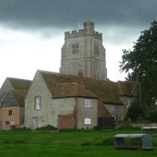
Court Lodge Farmhouse
4.9 km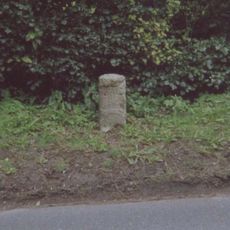
Milestone, London Road, W of jct with Old London Road, by "Romney Elm"
5.7 kmReviews
Visited this place? Tap the stars to rate it and share your experience / photos with the community! Try now! You can cancel it anytime.
Discover hidden gems everywhere you go!
From secret cafés to breathtaking viewpoints, skip the crowded tourist spots and find places that match your style. Our app makes it easy with voice search, smart filtering, route optimization, and insider tips from travelers worldwide. Download now for the complete mobile experience.

A unique approach to discovering new places❞
— Le Figaro
All the places worth exploring❞
— France Info
A tailor-made excursion in just a few clicks❞
— 20 Minutes