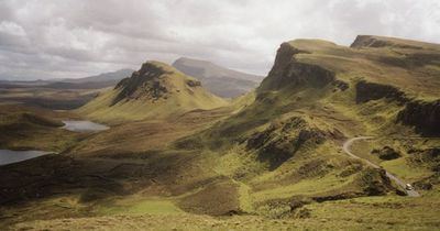
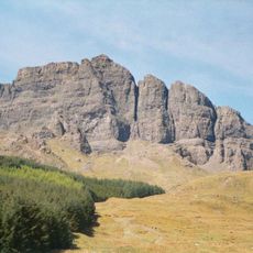
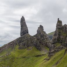
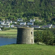
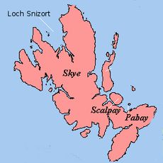
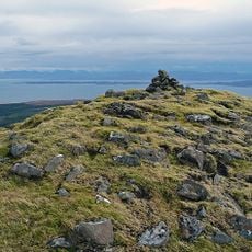
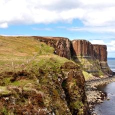
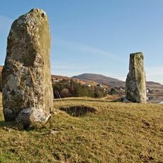
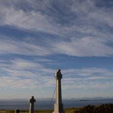
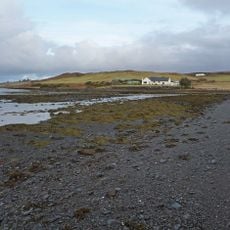
Quiraing, Mountain formation in Trotternish Ridge, Isle of Skye, Scotland.
Description
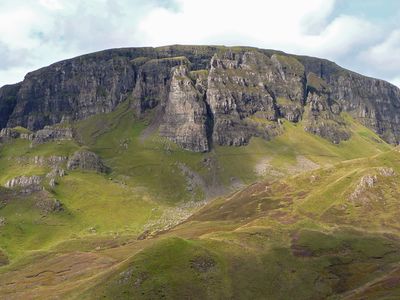
Quiraing is a mountain formation on the Isle of Skye featuring steep cliffs, rocky pinnacles, and deep valleys that create a dramatic layered landscape. The terrain forms a series of ridges and hollows that can be explored on foot through interconnected paths.
History
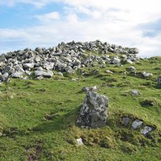
The formation was shaped by massive landslips during the last glacial period, creating the distinctive terrain that remains today. These ancient geological movements left layers of rock that tell the story of the landscape's transformation.
Culture
The name reflects a blend of Old Norse and Gaelic roots, showing how Nordic and Scottish traditions merged in this region over time. The landscape itself carries marks of this cultural crossing.
Practical
Sturdy hiking boots and weatherproof clothing are essential, as conditions change quickly at higher elevations and wind is common. The walking routes vary in difficulty, so choose a path matching your fitness level.
Did you know?
The rock towers and ridges were created by sideways ground movements rather than simple vertical erosion common to most mountains. This horizontal shifting produces the unusual angular shapes and parallel lines that mark the landscape distinctly.
AroundUs brings together thousands of curated places, local tips, and hidden gems, enriched daily by 60,000 contributors worldwide. Discover all places nearby (Highland).
The Scottish Highlands span thousands of square miles in northern Scotland, offering striking landscapes of mountains, jagged coastlines, and remote lakes. This region retains villages that only recently gained road access, such as Rhenigidale on Harris Island, connected to the rest of the island in...
The Storr
15.7 km
Old Man of Storr
15.9 km
Duntulm Castle
6.8 km
Duntulm
6.1 km
Uig Tower
8.3 km
Loch Snizort
15.1 km
Skye Museum of Island Life
6.4 km
Sgùrr a' Mhadaidh Ruaidh
11 km
Kilt Rock
6.6 km
Caisteal Uisdean
13.2 km
Tigh Talamhain Souterrain
4.4 km
Dun Grianan,broch on N shore of Loch Mealt
6.4 km
Sornaichean Coir Fhinn standing stones
17.2 km
Fairy Glen
7.4 km
St Moluag's Church,Kilmaluag Bay
6 km
Free Church, Uig, Skye
8.1 km
An T-Iasgair Light
11 km
Staffin Ecomuseum
6.2 km
Skye, Monkstadt House
7.7 km
Trodday Lighthouse
9.7 km
Skye, Staffin, Stenscholl Parish Church
4 km
Skye, Kilmuir Church, Graveyard, Flora Macdonald Monument
6.1 km
Kilmuir Churchyard at Clachan,effigy & tombstone
6.1 km
Skye, Monkstadt House, Steading
7.8 km
Skye, Kilmuir Church, Graveyard
6.1 km
Romesdal Bridge,cairn 460m SW of
16.7 km
Skye, Lyndale House, Lodge And Gatepiers
17.2 km
Carn Liath, chambered cairn and deserted settlement, Kilmuir
8.3 kmDiscover hidden gems everywhere you go!
From secret cafés to breathtaking viewpoints, skip the crowded tourist spots and find places that match your style. Our app makes it easy with voice search, smart filtering, route optimization, and insider tips from travelers worldwide. Download now for the complete mobile experience.
A unique approach to discovering new places❞
— Le Figaro
All the places worth exploring❞
— France Info
A tailor-made excursion in just a few clicks❞
— 20 Minutes