Torridon

Log in to your account

AroundUs is a community-driven map of interesting places, built by curious explorers like you. It grows with every review, story, and photo you share.
Connect to save your favorite spots, contribute locations, and create personalized routes.
By continuing, you accept our Terms and Conditions and our Privacy Policy
Add to collection
Map
Suggest a change
Share

Torridon, Rural village in Highland, Scotland

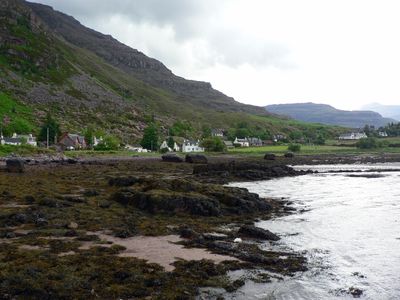
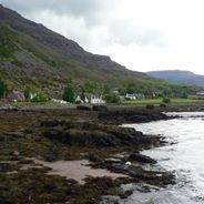
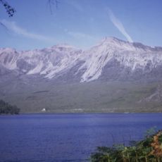
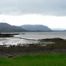
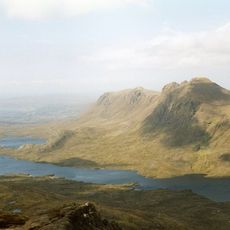
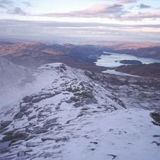
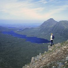
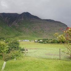
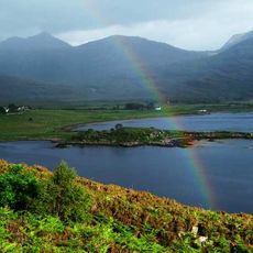
Torridon is a village on the northern shore of Upper Loch Torridon in the Scottish Highlands, where mountains rise steeply from the water's edge. The settlement offers accommodation at a hotel and youth hostel, serving as a base for visitors exploring the surrounding terrain.

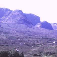
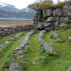
The settlement developed as part of the Highland region, established in terrain shaped by ancient geological formations millions of years old. The area's rugged landscape has defined its character and limited its growth over time.

The village comes alive each June with the Celtman Extreme Triathlon, when athletes swim, cycle, and run through the surrounding highlands. This event brings people from across the world to test themselves in one of Scotland's most demanding mountain settings.

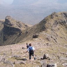
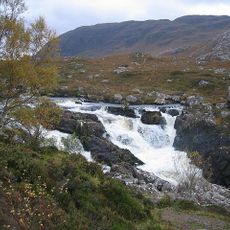
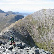
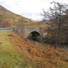
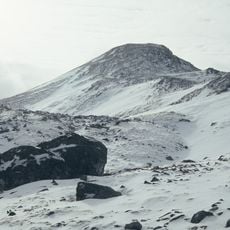
Access comes via a minor road following Upper Loch Torridon, and the location is best explored on foot once you arrive. Expect changeable weather and bring sturdy shoes and rain gear for walks through the mountains.

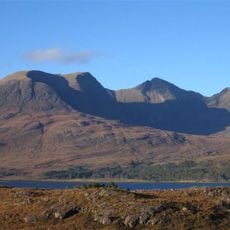
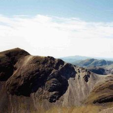
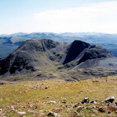
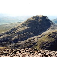
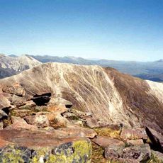
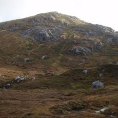
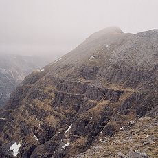
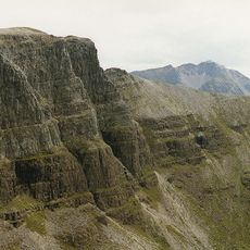
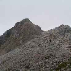
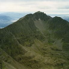
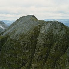
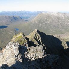
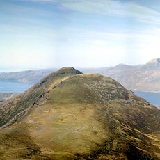
Three mountains over 3,000 feet tall stand directly above the village: Liathach, Beinn Alligin, and Beinn Eighe rise prominently from the lochside. This trio makes the settlement a natural hub for hikers seeking varied terrain and rewarding climbs.

Location: Highland

Location: Applecross

GPS coordinates: 57.54650,-5.51260

Latest update: December 6, 2025 16:02

Scottish Highlands: Hidden places, isolated mountains and remote villages

The Scottish Highlands span thousands of square miles in northern Scotland, offering striking landscapes of mountains, jagged coastlines, and remote lakes. This region retains villages that only recently gained road access, such as Rhenigidale on Harris Island, connected to the rest of the island in 1989. The Knoydart Peninsula remains accessible only by boat or on foot and has about a hundred residents. Notable sites include the Torridon hills, formed of red sandstone and rising roughly 1,000 meters (3,280 feet), the Bealach na Bà road which climbs to 626 meters (2,054 feet) with slopes up to 20 percent, and Sandwood Bay, a sandy beach reachable after several miles of walking. The Speyside Way stretches 85 miles (137 km) along the River Spey, passing through forests and moorlands near whisky distilleries. On the Isle of Skye, the Storr features needle-shaped rock formations, while Coire Lagan forms a glacial cirque carved into the rock. These sites highlight the region’s geological history and the ways of life that have persisted despite isolation.

Reviews

Visited this place? Tap the stars to rate it and share your experience / photos with the community! Try now! You can cancel it anytime.

« Torridon - Rural village in Highland, Scotland » is provided by Around Us (aroundus.com). Images and texts are derived from Wikimedia project under a Creative Commons license. You are allowed to copy, distribute, and modify copies of this page, under the conditions set by the license, as long as this note is clearly visible.

Discover hidden gems everywhere you go!

From secret cafés to breathtaking viewpoints, skip the crowded tourist spots and find places that match your style. Our app makes it easy with voice search, smart filtering, route optimization, and insider tips from travelers worldwide. Download now for the complete mobile experience.

Around Us App Screenshot

A unique approach to discovering new places

Le Figaro

All the places worth exploring

France Info

A tailor-made excursion in just a few clicks

20 Minutes