·

Enable Location

We need your location to show you interesting places around you

Discover nearby places

Find interesting locations and hidden gems around you

Precise directions

Get accurate directions and distances to places

Your location is never shared with other users. It's only used when you tap the location button.

Cape Wrath Trail

Log in to your account

Start exploring — it's free

Trusted by 62,639 travelers worldwide

Continue with Google
Continue with Apple
or

We will send you a code to connect

By continuing, you accept our Terms and Conditions and our Privacy Policy

Check your inbox

We've sent a pincode in your inbox. Please enter the code below.

Cape Wrath Trail

Cape Wrath Trail, Hiking trail in Highland, Great Britain

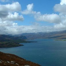
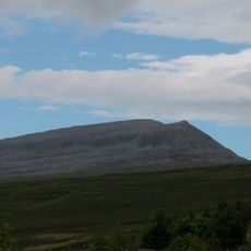
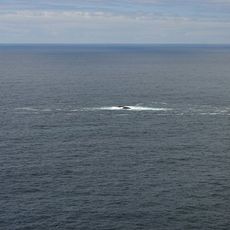
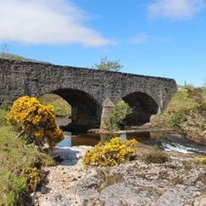
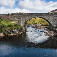
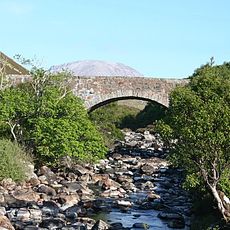
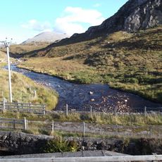
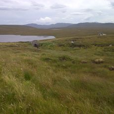
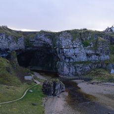
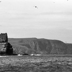
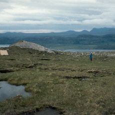
The Cape Wrath Trail is a long-distance hiking route in northwestern Scotland that runs from Fort William to a lighthouse at the very northwest tip of the mainland, spanning approximately 230 kilometers (143 miles). The terrain is wild and remote, with several unbridged river crossings and stretches where the path vanishes into moorland and bog.

The route was documented in 1996 by David Paterson, who published a photography book mapping a long path through the Scottish Highlands. This publication brought attention to the journey and helped establish it as a recognized hiking destination.

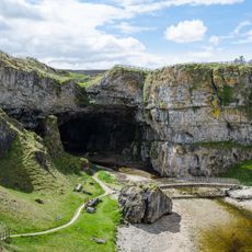
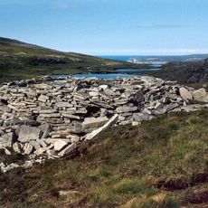
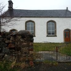
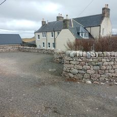
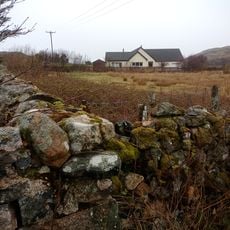
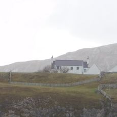
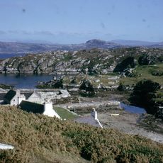
The route passes simple stone bothies, traditional shelters that hikers use for overnight stays in the remote highlands. These basic accommodations are woven into the local walking culture and represent how travelers have moved through this landscape for generations.

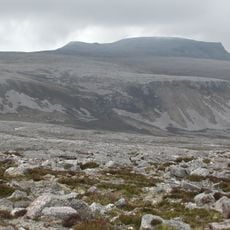
Hikers need solid navigation skills and proper gear since the path is unmarked and often disappears into open moorland. Weather conditions change rapidly in this exposed landscape, so visitors should prepare for wet and windy conditions and allow extra time for slower progress.

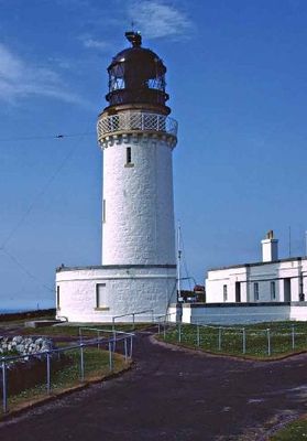
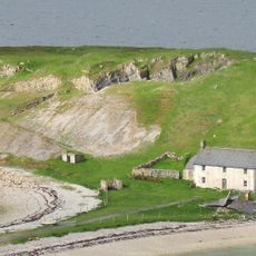
The lighthouse marking the trail's endpoint was built in 1828 by Robert Stevenson, grandfather of author Robert Louis Stevenson who wrote Treasure Island. Few hikers realize this family connection exists when they arrive at the remote landmark.

The community of curious travelers

AroundUs brings together thousands of curated places, local tips, and hidden gems, enriched daily by 60,000 contributors worldwide.

Start exploring
Location
GPS coordinates
57.60450,-5.30340
Latest update
December 7, 2025 20:43
« Cape Wrath Trail - Hiking trail in Highland, Great Britain » is provided by Around Us (aroundus.com). Images and texts are derived from Wikimedia project under a Creative Commons license. You are allowed to copy, distribute, and modify copies of this page, under the conditions set by the license, as long as this note is clearly visible.

Discover hidden gems everywhere you go!

From secret cafés to breathtaking viewpoints, skip the crowded tourist spots and find places that match your style. Our app makes it easy with voice search, smart filtering, route optimization, and insider tips from travelers worldwide. Download now for the complete mobile experience.

Around Us App Screenshot

A unique approach to discovering new places

Le Figaro

All the places worth exploring

France Info

A tailor-made excursion in just a few clicks

20 Minutes

Around Us
Travel Guide & Maps
Download

Send to your phone

QR Code
1

Open the camera app on your mobile.

2

Point at the QR code with your camera. A notification will appear.

3

Tap the notification to open the link.