Rhwng Gwy a Hafren, Medieval territory in central Wales, United Kingdom
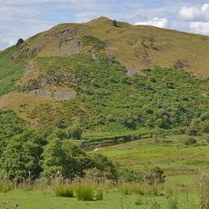
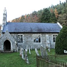
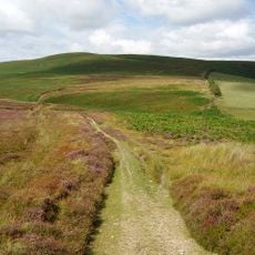
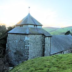
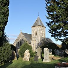
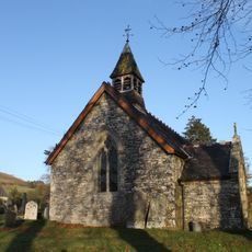
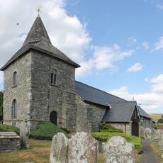
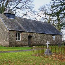
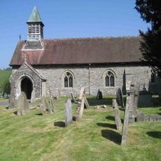
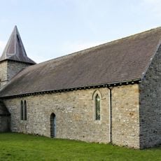
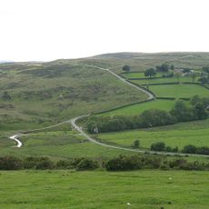
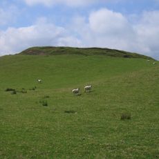
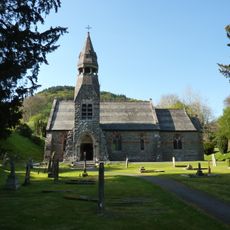
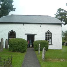
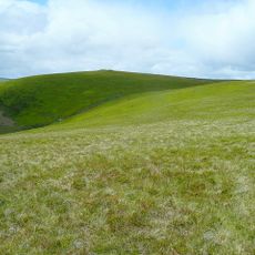
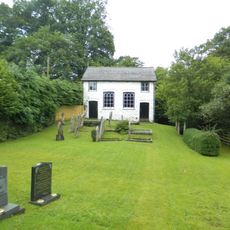
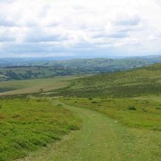
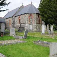
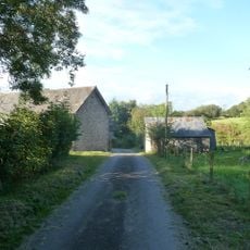
Rhwng Gwy a Hafren is a medieval territory in central Wales situated between the rivers Wye and Severn. The area comprises rolling hills, river valleys, and scattered historic settlements that define this section of the Welsh landscape.
The territory was divided among several Marcher Lords in the 11th century during the Norman period, notably Roger de Montgomerie and Ranulph de Mortimer. This Norman control over the borderlands shaped the region's political structure for centuries.
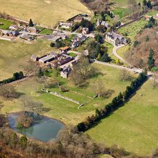
The region reflects its medieval past through local place names and settlement patterns that follow ancient administrative boundaries. Visitors can trace how these old divisions still shape the landscape today.
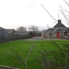
Exploring this territory is best done on foot or by car, as many historical sites lie scattered across the countryside away from main roads. Local museums and heritage centers provide helpful background on the area's medieval past.
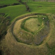
The territory overlaps with modern Radnorshire and holds archaeological traces of Iron Age Ordovices settlements and Roman occupation. These overlapping periods reveal how different peoples inhabited and shaped this land across thousands of years.
The community of curious travelers
AroundUs brings together thousands of curated places, local tips, and hidden gems, enriched daily by 60,000 contributors worldwide.