
Bucknell, village and civil parish in Cherwell district, Oxfordshire, England
Location: Cherwell
Shares border with: Stoke Lyne, Ardley, Middleton Stoney, Chesterton, Bicester, Caversfield
Website: http://bucknell.me.uk
GPS coordinates: 51.92700,-1.18600
Latest update: April 9, 2025 02:58

Middleton Park, Oxfordshire
4.3 km
Aves ditch
5.8 km
Bicester Bowl
3.4 km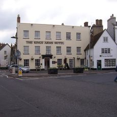
Kings Arms Hotel
4.2 km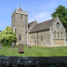
Church of St Peter, Stoke Lyne
2.7 km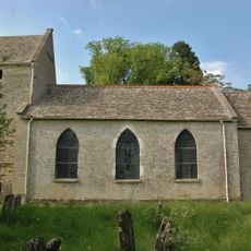
Church of St Mary
2.5 km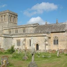
Church of All Saints
3.8 km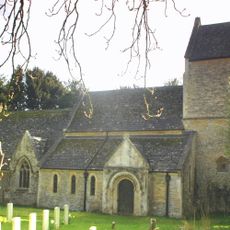
Church of St Lawrence
2.1 km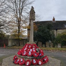
Bicester War Memorial
4.1 km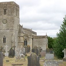
Church of St Mary, Chesterton
4.3 km
Church of St Mary
4.2 km
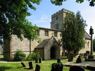
Church of St Peter
101 m
Church of St Edburg, Bicester
4.1 km
Bell Inn
3.8 km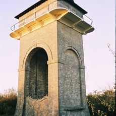
Trow Pool water tower
1.5 km
The Old Court House
4.1 km
45 And 52, Market Square
4.1 km
44, Market Square
4.1 km
17, Market Square
4.1 km
20, Sheep Street
4.1 km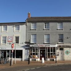
7 And 8, Market Square
4.1 km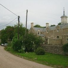
Chesterton Lodge Including Forecourt Balustrade Immediately West
4.5 km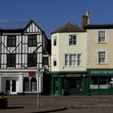
46, 48 And 51, Market Square
4.1 km
Cold War structures at the former Upper Heyford Airbase
4.9 km
9, London Road
4.3 km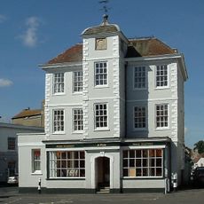
47, Market Square
4.2 km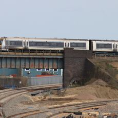
Bicester intersection bridge
4.5 km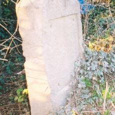
Milestone, Station Road; between railway bridge and southern edge of Ardley, S of Uplands
2.3 kmReviews
Visited this place? Tap the stars to rate it and share your experience / photos with the community! Try now! You can cancel it anytime.
Discover hidden gems everywhere you go!
From secret cafés to breathtaking viewpoints, skip the crowded tourist spots and find places that match your style. Our app makes it easy with voice search, smart filtering, route optimization, and insider tips from travelers worldwide. Download now for the complete mobile experience.

A unique approach to discovering new places❞
— Le Figaro
All the places worth exploring❞
— France Info
A tailor-made excursion in just a few clicks❞
— 20 Minutes