Dunluce Upper, Historical barony in County Londonderry, Northern Ireland
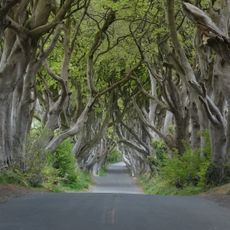
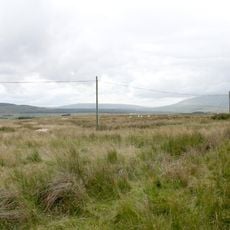
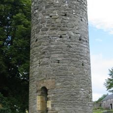
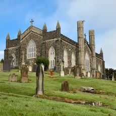
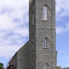
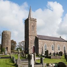
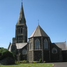
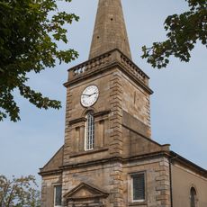
Dunluce Upper is a historical barony in County Londonderry that spreads across several civil parishes including Armoy, Ballymoney, Killagan, Kilraghts, and Loughguile. This administrative territory sits between coastal cliffs and inland areas, forming a substantial region of the county.
This barony developed from the medieval territory known as the Route that once covered the area. It established its boundaries alongside six neighboring baronies that formed the administrative structure of Northern Ireland.
The area has both English and Irish names, with the Irish form being Dún Libhse Uachtarach, showing the shared linguistic heritage of the region. These dual designations reflect the long story of two cultures that have coexisted here.
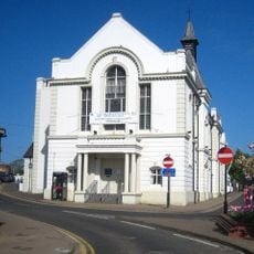
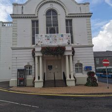
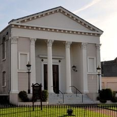
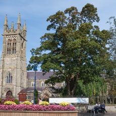
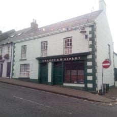
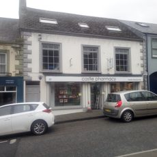
The territory includes several settlements, with Ballymoney serving as the main town and offering basic services to both residents and visitors. From there you can explore the different parishes and experience both the coastal and inland landscapes.
The area was originally part of a medieval route network that connected the entire region and enabled trade and cultural exchanges across the landscape. These historical connections still shape the character and structure of the land today.
The community of curious travelers
AroundUs brings together thousands of curated places, local tips, and hidden gems, enriched daily by 60,000 contributors worldwide.