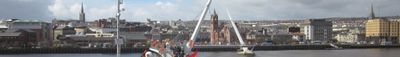
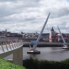
County Londonderry, Historic county in Northern Ireland
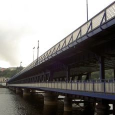
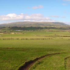
County Londonderry is a historic county in the northwest of Northern Ireland that covers mountain ranges, broad valleys, and river courses reaching the Atlantic coast. The area spans regions now organized under three separate district councils yet persisting under this historic name.
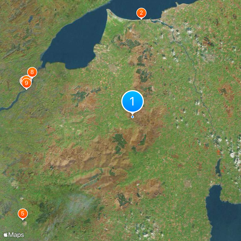
King James I created the county in 1613 by merging the existing County Coleraine with adjacent lands. This reorganization aimed to consolidate royal administration in the north and brought English and Scottish settlers into the region.
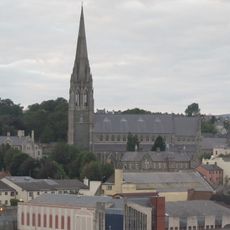
The region maintains two parallel naming traditions, with Derry and Londonderry both used according to different community preferences and historical contexts.
The administrative area is now divided among Derry and Strabane, Causeway Coast and Glens, and Mid-Ulster districts. Travelers move through these regions without noticing the historic boundaries in daily life.
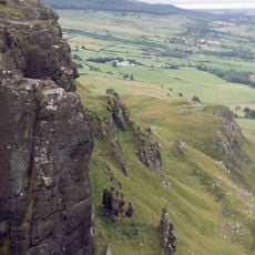
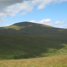
Sawel Mountain rises on the border with County Tyrone to 678 meters (2,224 feet) and is the highest point in the entire county. From its summit, you can see across multiple counties and the coastline on clear days.
The community of curious travelers
AroundUs brings together thousands of curated places, local tips, and hidden gems, enriched daily by 60,000 contributors worldwide.