Slieve Gallion, Mountain peak in County Londonderry, Northern Ireland.
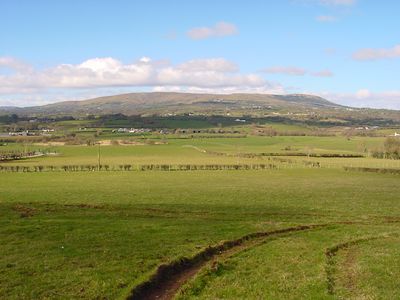
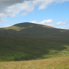
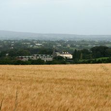
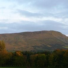
Slieve Gallion is a mountain summit in the Sperrin Mountains in County Londonderry, Northern Ireland, with a flat granite top and steep flanks on most sides. It sits close to Lough Neagh, making it one of the more visible high points across this part of the country.
A text from the 7th century refers to the mountain as Collunt Patricii, meaning the height of Saint Patrick, which places it within the earliest layers of Christian writing in Ireland. Over the following centuries the name evolved into its current form, shaped by the Irish language and local storytelling traditions.
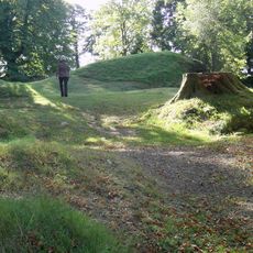
The mountain's Irish name, Sliabh gCaillon, refers to a figure from old local stories, and this connection to legend is still present in the area today. Visitors who walk the slopes sometimes notice cairns and old earthworks that reflect how people once marked this high ground as a meaningful place.
A narrow road from Moneymore leads up toward a transmission station near the top and serves as the main access route for visitors on foot or by car. The slopes are steep on most sides, so good footwear is helpful, and conditions can change quickly at this elevation.
On the summit there is an old stone cairn that predates the Christian references to the mountain by many centuries, pointing to a much earlier human presence on this high ground. It sits just a short walk from the modern transmission mast, placing two very different eras side by side in the same spot.
The community of curious travelers
AroundUs brings together thousands of curated places, local tips, and hidden gems, enriched daily by 60,000 contributors worldwide.