
Crowell, village and civil parish in South Oxfordshire district, Oxfordshire, England, UK
Location: South Oxfordshire
Shares border with: Aston Rowant, Chinnor, Sydenham
Website: http://mycouncil.oxfordshire.gov.uk/mgParishCouncilDetails.aspx?ID=242&LS=1
GPS coordinates: 51.69100,-0.92500
Latest update: March 25, 2025 01:05

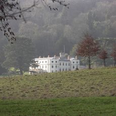
Wormsley Park
5.2 km
Chinnor and Princes Risborough Railway
1.5 km
Aston Rowant NNR
3.4 km
Sir Charles Napier Inn
2.4 km
Stokenchurch Gap
3.4 km
Lodge Hill, Buckinghamshire
5.1 km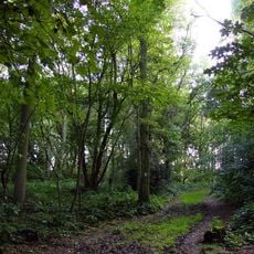
Aston Rowant Woods
1.4 km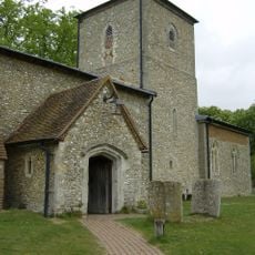
Church of St Mary, Radnage
4.5 km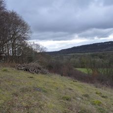
Wormsley Chalk Banks
5.9 km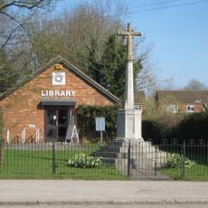
Stokenchurch War Memorial
3.9 km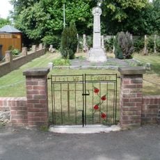
Radnage War Memorial
5.1 km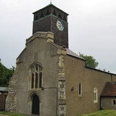
Church of St Peter and St Paul
3.6 km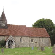
Church of St Mary
5.6 km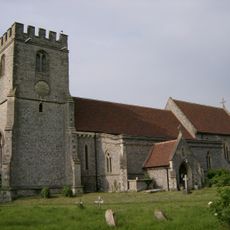
Church of St Margaret, Lewknor
3.5 km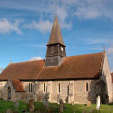
Church of St Mary
2.6 km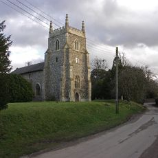
Church of St Peter and St Paul, Aston Rowant
1.8 km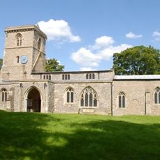
Church of the Holy Trinity
4.2 km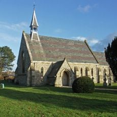
Church of St Paul
5.7 km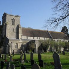
Church of St Andrew
1.8 km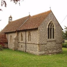
Church of the Nativity of the Blessed Virgin Mary
8 m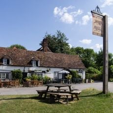
The Lions Of Bledlow
4 km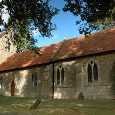
Church of St Nicholas
2.7 km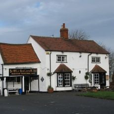
Ye Olde Leathern Bottle Public House
3.6 km
Henton War Memorial
3.3 km
The Old Post Office
2.5 km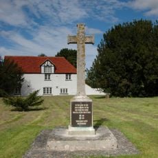
Aston Rowant War Memorial
1.9 km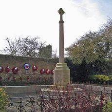
Chinnor War Memorial
1.9 km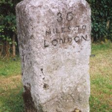
Milestone, Wycombe Road; at jct. with Marlow Road, B482
4.1 kmReviews
Visited this place? Tap the stars to rate it and share your experience / photos with the community! Try now! You can cancel it anytime.
Discover hidden gems everywhere you go!
From secret cafés to breathtaking viewpoints, skip the crowded tourist spots and find places that match your style. Our app makes it easy with voice search, smart filtering, route optimization, and insider tips from travelers worldwide. Download now for the complete mobile experience.

A unique approach to discovering new places❞
— Le Figaro
All the places worth exploring❞
— France Info
A tailor-made excursion in just a few clicks❞
— 20 Minutes