
Muggleswick, village in County Durham, United Kingdom
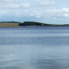
Derwent Reservoir
3.9 km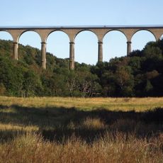
Hownsgill Viaduct
5.5 km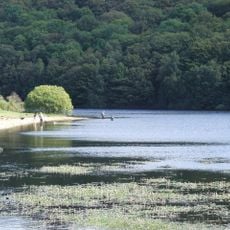
Backstone Bank and Baal Hill Woods
9.7 km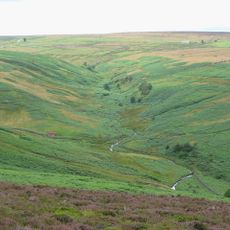
Burnhope Burn
1.5 km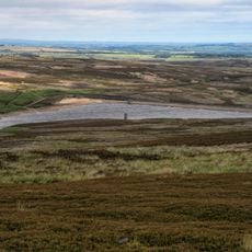
Hisehope Reservoir
4 km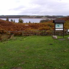
Pow Hill Bog
3.7 km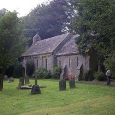
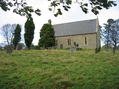
Church of St Edmund
2.7 km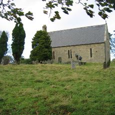
Church of All Saints
290 m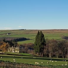
Ruffside Hall
5.2 km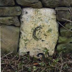
Milestone About 300 Metres South Of West Fines Wood
3.6 km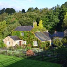
Allensford Mill Farmhouse And Adjacent Outbuildings
3.5 km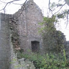
Remains Of Manor House At Priory Farm
312 m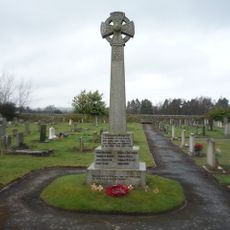
Shotley Low Quarter War Memorial
3.4 km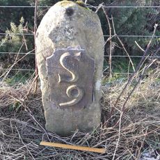
Milestone 110 Metres North Of Entrance To Eddisbridge Farm
1.4 km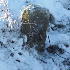
Boundary Stone Circa 220 Metres West Of Stuartfield Lodge
6.7 km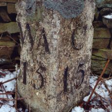
Milestone Circa 50 Metres North Of Junction With Eliza Lane
6.6 km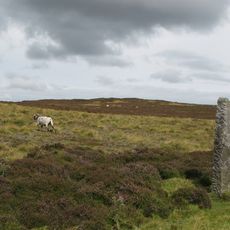
Edmundbyers Cross, Muggleswick Common, 1460m west of Heather Lea
6.4 km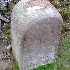
Stockton Nd Darlington Railway Marker About 400 Metres South Of Weatherhil Engine
9.1 km
Grange Farmhouse And Gin Gang
474 m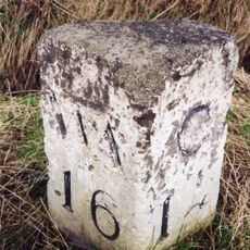
Milestone Circa 250 Mertres North Of High Alder Heads
5.5 km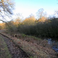
Former Lead Mine Reservoir About 100 Metres East Of Dean Howl Farm
3.1 km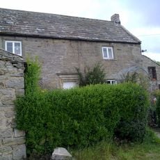
Crooked Oak Farmhouse
1.3 km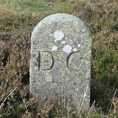
Boundary Stone At Dead Friar
8.4 km
Milestone About 200 Metres East Of Rowley Cottage
4.3 km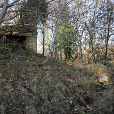
Former Lead Mine Circa 300 Metres North East Of Dene Howl Farm
3.2 km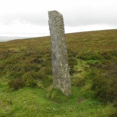
Guidestone, Stanhope to Edmundbyers road
7.4 km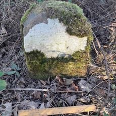
Milestone, Carterway Heads, Burnmill Bank, Fell Gate
2.7 km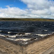
Smiddy Shaw Reservoir
3.7 kmReviews
Visited this place? Tap the stars to rate it and share your experience / photos with the community! Try now! You can cancel it anytime.
Discover hidden gems everywhere you go!
From secret cafés to breathtaking viewpoints, skip the crowded tourist spots and find places that match your style. Our app makes it easy with voice search, smart filtering, route optimization, and insider tips from travelers worldwide. Download now for the complete mobile experience.

A unique approach to discovering new places❞
— Le Figaro
All the places worth exploring❞
— France Info
A tailor-made excursion in just a few clicks❞
— 20 Minutes