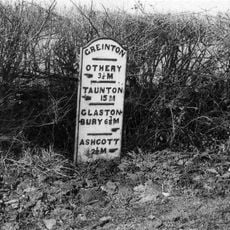
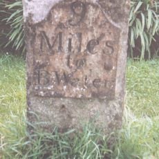
Sweet Track, Ancient wooden walkway in Somerset Levels, England.
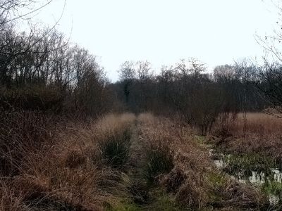
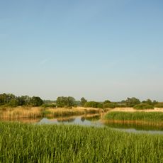
The Sweet Track is a Neolithic wooden passage across the Somerset marshlands stretching for 1.6 kilometers (one mile). Oak planks rest on supporting poles arranged in crosswise pairs that anchor into the waterlogged ground.
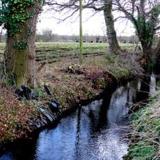
Neolithic settlers built the passage in 3807 BCE to link the island of Westhay with higher ground near the River Bruce. The construction remained in use for roughly a decade before rising water levels buried it beneath accumulating peat.
Local communities brought polished pottery and alpine jade for ceremonial deposits near the timber structure. These offerings lay beside the planks and mark how crossing the marsh held symbolic importance beyond simple travel.
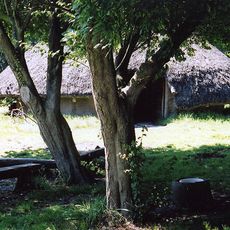
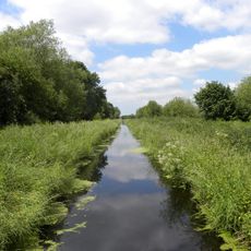
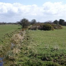
Access to the passage remains restricted within Shapwick Heath National Nature Reserve due to conservation requirements. Moisture keeps the timber preserved below the surface, so visitors can view only protected sections and cannot touch exposed planks.
Ray Sweet uncovered the wooden passage during peat extraction in 1970, prompting researchers to study the growth rings in the planks. This method allowed them to pinpoint the tree felling to a single year with remarkable accuracy.
The community of curious travelers
AroundUs brings together thousands of curated places, local tips, and hidden gems, enriched daily by 60,000 contributors worldwide.