Westhay Heath, Protected wetland area in Somerset, United Kingdom
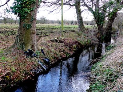
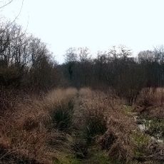
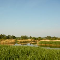
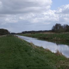
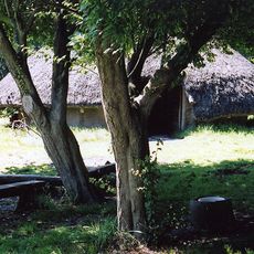
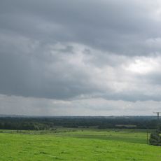
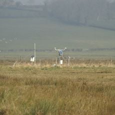
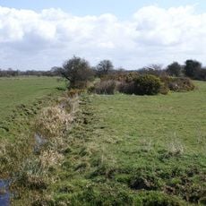
Westhay Heath is a protected wetland in the Somerset Levels comprising fen vegetation, scrub, marshy grassland, drainage ditches, and small ponds spread across the site. The terrain displays different zones where water levels and soil conditions create distinct habitats for specialized plant and animal communities.
The site developed through natural vegetation recovery in areas previously used for peat extraction during Somerset's industrial period. These abandoned extraction zones gradually transformed into diverse wetland habitats over time.
The Somerset Wildlife Trust manages this Site of Special Scientific Interest, conducting research programs to understand peatland ecology and habitat preservation methods.
Access is via designated walking paths where visitors can explore the habitat diversity at their own pace. Good footwear is important as the ground can be muddy and slippery, especially after rain or during wetter seasons.
The site supports a nationally rare fen plant community found in only a few places across Britain. This specialized flora attracts birdwatchers and nature enthusiasts from various regions who come to observe breeding and resting grounds for uncommon bird species.
The community of curious travelers
AroundUs brings together thousands of curated places, local tips, and hidden gems, enriched daily by 60,000 contributors worldwide.