Shapwick Heath, Protected wetland reserve in Somerset, England
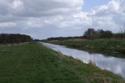
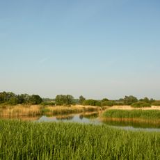
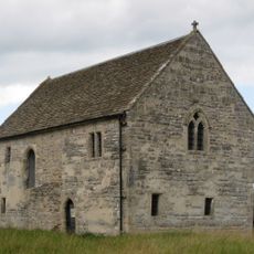
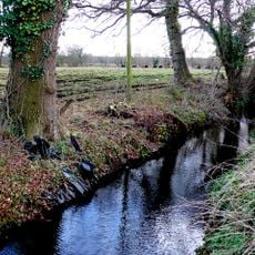
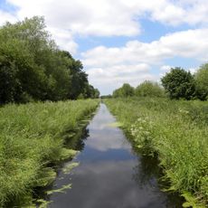
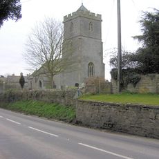
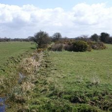
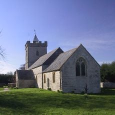
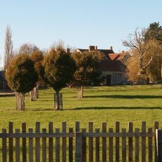
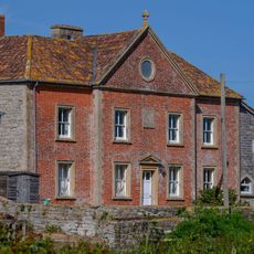
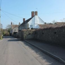
Shapwick Heath is a protected wetland site in Somerset covering roughly 400 hectares with diverse habitats such as marshes, woodlands, and open grasslands. Located between Shapwick and Westhay villages, it forms part of the Somerset Levels landscape and contains varied environments for wildlife.
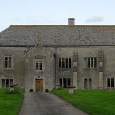
Peat extraction was a major activity in the area from medieval times onwards, shaping the landscape for centuries. The site was gradually designated for protection during the 20th century and converted to a nature reserve.
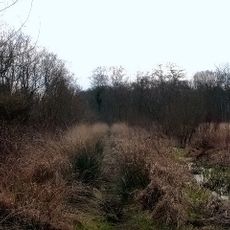
The site reflects how local communities have shaped the wetlands over time, transforming peat extraction areas into spaces for nature and education. Walking through different zones, visitors notice how conservation practices have changed the landscape and its uses.
The reserve has marked walking paths and bird observation hides throughout the area for visitors to explore independently. It is helpful to bring waterproof clothing and binoculars, as ground conditions can be wet and muddy at any time.
An ancient wooden walkway called the Sweet Track runs through the reserve and ranks among Northern Europe's oldest discovered roads. This prehistoric structure was uncovered by chance during peat extraction and reveals how people built pathways long ago.
The community of curious travelers
AroundUs brings together thousands of curated places, local tips, and hidden gems, enriched daily by 60,000 contributors worldwide.